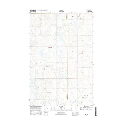
2016 Map of Ebro
USGS Topo · Published 2016About this map
The Wild Rice River and the Clearwater River converge in this watery landscape along the border of Mahnomen and Clearwater Counties. Small settlements like Ebro and Pine Bend provide central points in a region dominated by glacial lake basins and extensive wetlands. The presence of Holiness Cem and Pine Bend Cem offers specific points of interest for genealogists tracing local families in these rural townships.
Find a feature on this map
45 named features on this map. Tap any name to fly to it.
Don’t see what you’re looking for? This feature index may not catch every label — zoom into the map to look around manually.
Map Details
Editions of this 2016 Ebro Map
This is the sole edition of this map. No revisions or reprints were ever made.
Other maps of this area

1919 · Fosston
USGS Topo · 1:62,500

1943 · Bagley
USGS Topo · 1:62,500

1954 · Bemidji
USGS Topo · 1:250,000

1957 · Bemidji
USGS Topo · 1:250,000

1958 · Bemidji
USGS Topo · 1:250,000

1969 · North Twin Lake
USGS Topo · 1:24,000

1969 · Ebro
USGS Topo · 1:24,000

1969 · Roy Lake
USGS Topo · 1:24,000

1969 · Fosston SE
USGS Topo · 1:24,000

1969 · Fosston East
USGS Topo · 1:24,000