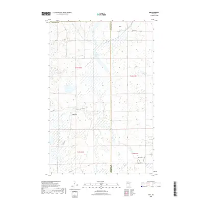
2019 Map of Ebro
USGS Topo · Published 2019About this map
The Wild Rice River and Clearwater River systems define this northern Minnesota landscape along the border of Mahnomen and Clearwater Counties. These watercourses wind through a terrain dominated by wetlands and significant lake bodies, including Rice Lake, Wolf Lake, and the connected Long Lake and Lower Long Lake. The settlement pattern is sparse, centered on small communities like Ebro in the north and the riverfront hamlet of Pine Bend. This area shows the intersection of local and tribal infrastructure, with roads like BIA Rd 17 and Co Hwy 27 providing access to remote tracts. Genealogists and local historians can locate historic burial sites including Holiness Cem near the northern border and Pine Bend Cem near the river, reflecting the early rural congregations and family settlements of the region.
Find a feature on this map
43 named features on this map. Tap any name to fly to it.
Don’t see what you’re looking for? This feature index may not catch every label — zoom into the map to look around manually.
Map Details
Editions of this 2019 Ebro Map
This is the sole edition of this map. No revisions or reprints were ever made.
Other maps of this area

1919 · Fosston
USGS Topo · 1:62,500

1943 · Bagley
USGS Topo · 1:62,500

1954 · Bemidji
USGS Topo · 1:250,000

1957 · Bemidji
USGS Topo · 1:250,000

1958 · Bemidji
USGS Topo · 1:250,000

1969 · North Twin Lake
USGS Topo · 1:24,000

1969 · Ebro
USGS Topo · 1:24,000

1969 · Roy Lake
USGS Topo · 1:24,000

1969 · Fosston SE
USGS Topo · 1:24,000

1969 · Fosston East
USGS Topo · 1:24,000