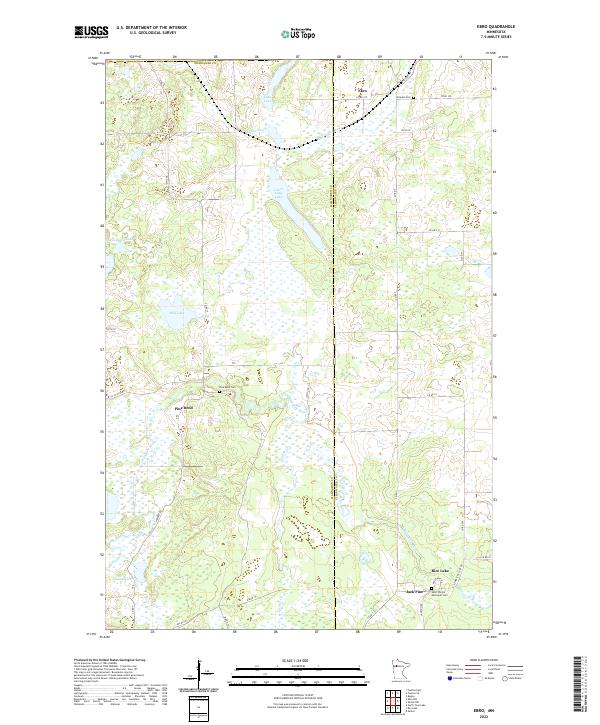
2022 Map of Ebro
USGS Topo · Published 2022About this map
The Wild Rice River and Poplar River wind through the marshy lowlands of this region, which straddles the boundary between Mahnomen and Clearwater counties. The landscape is defined by an intricate network of wetlands and small lakes, including the uniquely named Graveyard Lake and the expansive Lower Long Lake. Several small settlements and rural junctions anchor the road system, notably Ebro, Pine Bend, and Jack Pine, each serving as a focal point for the surrounding homesteads and forest tracts.
Find a feature on this map
40 named features on this map. Tap any name to fly to it.
Don’t see what you’re looking for? This feature index may not catch every label — zoom into the map to look around manually.
Map Details
Editions of this 2022 Ebro Map
This is the sole edition of this map. No revisions or reprints were ever made.
Other maps of this area

1919 · Fosston
USGS Topo · 1:62,500

1943 · Bagley
USGS Topo · 1:62,500

1954 · Bemidji
USGS Topo · 1:250,000

1957 · Bemidji
USGS Topo · 1:250,000

1958 · Bemidji
USGS Topo · 1:250,000

1969 · North Twin Lake
USGS Topo · 1:24,000

1969 · Ebro
USGS Topo · 1:24,000

1969 · Roy Lake
USGS Topo · 1:24,000

1969 · Fosston SE
USGS Topo · 1:24,000

1969 · Fosston East
USGS Topo · 1:24,000