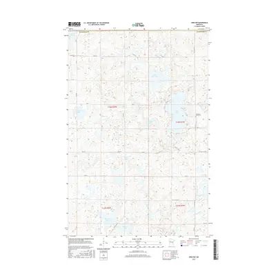
2016 Map of Ebro NW
USGS Topo · Published 2016About this map
Sand Hill Lake and a dense network of glacial wetlands define this landscape along the border of Mahnomen County in northwestern Minnesota. The area is characterized by an intricate collection of small water bodies, including the centrally located Island Lake and the smaller Matt Ayers Lake. Human settlement is sparse and primarily agricultural, reflected in the rectangular grid of section lines and gravel roads such as Island Lake Road and County Road 1.
Find a feature on this map
36 named features on this map. Tap any name to fly to it.
Don’t see what you’re looking for? This feature index may not catch every label — zoom into the map to look around manually.
Map Details
Editions of this 2016 Ebro NW Map
This is the sole edition of this map. No revisions or reprints were ever made.
Other maps of this area
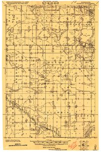
1919 · Fosston
USGS Topo · 1:62,500

1954 · Bemidji
USGS Topo · 1:250,000

1957 · Bemidji
USGS Topo · 1:250,000

1958 · Bemidji
USGS Topo · 1:250,000
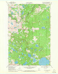
1969 · North Twin Lake
USGS Topo · 1:24,000
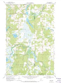
1969 · Ebro
USGS Topo · 1:24,000
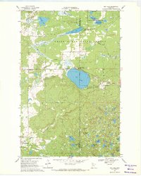
1969 · Roy Lake
USGS Topo · 1:24,000
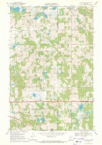
1969 · Fosston SE
USGS Topo · 1:24,000
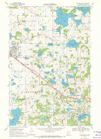
1969 · Fosston East
USGS Topo · 1:24,000
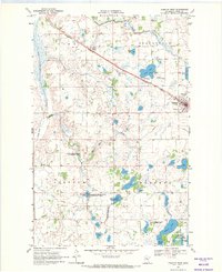
1969 · Fosston West
USGS Topo · 1:24,000