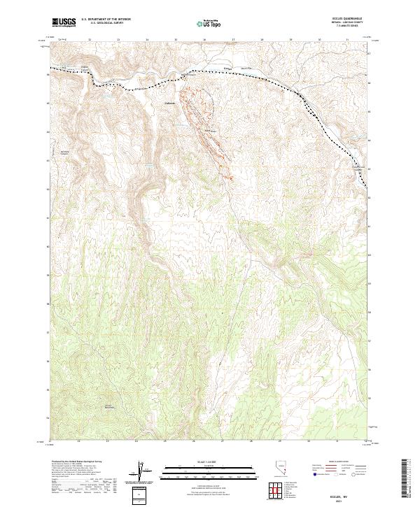
2021 Map of Eccles
USGS Topo · Published 2021About this map
Caliente and the small station point of Eccles anchor this modern topographic survey of Lincoln County, Nevada. The landscape is defined by the winding course of Clover Creek and its adjacent Clover Creek Canyon, which together provide a natural corridor through the high-elevation terrain of the Clover Mountains. The map reveals a highly developed recreational network within Barnes Canyon, featuring a dense system of specialized paths including the Barnes Canyon Trailhead - Mongoose Trl, Board's Head Trl, and Rocky Top Trl. These trails weave around distinctive geological formations like Tepee Rocks. Water remains a critical element in this arid environment, evidenced by scattered reliable points such as Oak Spring, Willow Spring, and Upper Ash Spring. The northern portion of the quadrangle is bisected by Clover Creek Rd, following the creek through English Canyon and across the open expanse of Dutch Flat.
Find a feature on this map
27 named features on this map. Tap any name to fly to it.
Don’t see what you’re looking for? This feature index may not catch every label — zoom into the map to look around manually.
Map Details
Editions of this 2021 Eccles Map
This is the sole edition of this map. No revisions or reprints were ever made.
Other maps of this area

1885 · Pioche
USGS Topo · 1:250,000

1886 · Pioche
USGS Topo · 1:250,000

1954 · Caliente
USGS Topo · 1:250,000

1959 · Caliente
USGS Topo · 1:250,000

1969 · Elgin NE
USGS Topo · 1:24,000
1970 · Caliente
USGS Topo · 1:24,000
1970 · Chief Mountain
USGS Topo · 1:24,000
1972 · Indian Cove
USGS Topo · 1:24,000
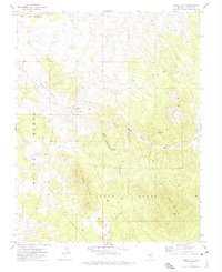
1972 · Mosey Mtn
USGS Topo · 1:24,000
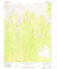
1972 · Eccles
USGS Topo · 1:24,000