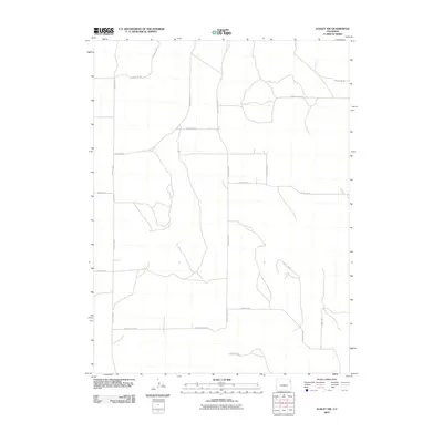
2010 Map of Eckley NW
USGS Topo · Published 2010About this map
Yuma County high plains are defined by a rigid grid of section-line roads in this early 21st-century documentation. The landscape is structured primarily for agricultural access, centered on the intersection of routes like County Rd 43 and County Rd W. While the map lacks named settlements or water bodies, the survey details the exact placement of local infrastructure, including specific north-south arteries such as County Rd T and County Rd Z. The systematic layout of roads like County Rd 40 and County Rd 46 reflects the enduring Homestead Act legacy of rectangular land division. This map serves as a clean record of the rural transportation network in the northeast corner of Colorado, showing the connectivity between isolated farmsteads and larger regional thoroughfares.
Find a feature on this map
15 named features on this map. Tap any name to fly to it.
Don’t see what you’re looking for? This feature index may not catch every label — zoom into the map to look around manually.
Map Details
Editions of this 2010 Eckley NW Map
This is the sole edition of this map. No revisions or reprints were ever made.
Other maps of this area

1954 · Sterling
USGS Topo · 1:250,000

1958 · Sterling
USGS Topo · 1:250,000

1961 · Eckley
USGS Topo · 1:24,000

1961 · Robb
USGS Topo · 1:24,000

1969 · Schramm
USGS Topo · 1:24,000

1971 · Yuma NE
USGS Topo · 1:24,000

1971 · Wauneta
USGS Topo · 1:24,000

1971 · Eckley NE
USGS Topo · 1:24,000

1971 · Clarkville SE
USGS Topo · 1:24,000

1971 · Old Baldy
USGS Topo · 1:24,000