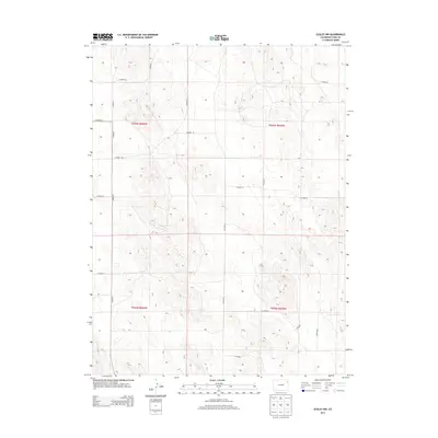
2013 Map of Eckley NW
USGS Topo · Published 2013About this map
Section lines and a precise grid of rural thoroughfares define this portion of Yuma County, as documented by the U.S. Geological Survey in 2013. The landscape is characterized by a systematically organized network of county roads, including Co Road T, Co Road W, and Co Road 44, which facilitate movement through the agricultural terrain. These routes align closely with township and range boundaries such as t003n r045w and t002n r046w, reflecting the enduring impact of the Public Land Survey System on the region's development. This survey provides a clear view of the rural infrastructure and land partitions in northeastern Colorado in the early twenty-first century.
Find a feature on this map
17 named features on this map. Tap any name to fly to it.
Don’t see what you’re looking for? This feature index may not catch every label — zoom into the map to look around manually.
Map Details
Editions of this 2013 Eckley NW Map
This is the sole edition of this map. No revisions or reprints were ever made.
Other maps of this area
1954 · Sterling
USGS Topo · 1:250,000
1958 · Sterling
USGS Topo · 1:250,000
1961 · Eckley
USGS Topo · 1:24,000
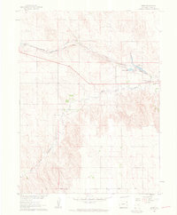
1961 · Robb
USGS Topo · 1:24,000
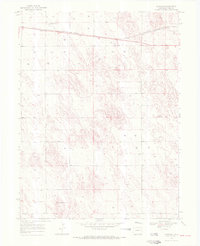
1969 · Schramm
USGS Topo · 1:24,000
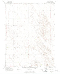
1971 · Yuma NE
USGS Topo · 1:24,000
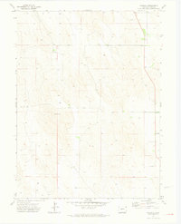
1971 · Wauneta
USGS Topo · 1:24,000
1971 · Eckley NE
USGS Topo · 1:24,000
1971 · Clarkville SE
USGS Topo · 1:24,000
1971 · Old Baldy
USGS Topo · 1:24,000