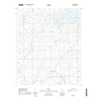
2018 Map of Eclectic
USGS Topo · Published 2018About this map
Eclectic serves as a primary hub in this portion of Elmore County, situated at the intersection of several local routes in the southern half of the map. The landscape to the north is defined by the winding reaches of Martin Lake, which creates a complex shoreline of points and sloughs including Neros Point and Lotts Slough. This late-era survey documents the established rural communities of Cotton, Seman, and Central, showing how the modern road network follows the historic corridors between these settlements. Genealogists will find significant value in the distribution of family-named landmarks and local burial grounds such as Cotton Cem, Thrash Cem, and Pleasant Grove Cem. The interior terrain is drained by several prominent watercourses, most notably the Channahatchee Cr and Chubbehatchee Cr, which navigate the elevation changes between the upland ridges and the reservoir levels.
Find a feature on this map
125 named features on this map. Tap any name to fly to it.
Don’t see what you’re looking for? This feature index may not catch every label — zoom into the map to look around manually.
Map Details
Editions of this 2018 Eclectic Map
This is the sole edition of this map. No revisions or reprints were ever made.
Other maps of this area
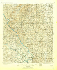
1901 · Wetumpka
USGS Topo · 1:125,000
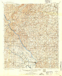
1901 · Wetumpka
USGS Topo · 1:62,500
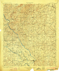
1903 · Wetumpka
USGS Topo · 1:125,000
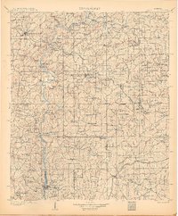
1906 · Dadeville
USGS Topo · 1:125,000
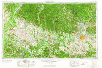
1953 · Montgomery
USGS Topo · 1:250,000
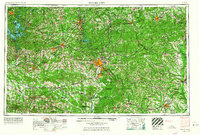
1955 · Phenix City
USGS Topo · 1:250,000
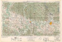
1956 · Montgomery
USGS Topo · 1:250,000
1957 · Phenix City
USGS Topo · 1:250,000
1957 · Montgomery
USGS Topo · 1:250,000
1958 · Phenix City
USGS Topo · 1:250,000