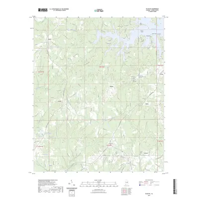
2023 Map of Eclectic
USGS Topo · Published 2023About this map
Eclectic serves as a focal point in this 2023 survey of Elmore County, where the landscape is defined by the expansive reaches of Martin Lake and its intricate shoreline. The northern section of the map reveals the importance of the water, featuring points like Neros Point and Pine Point, along with Mariner Island. Inland, the terrain is carved by numerous watercourses including Little Kowaliga Creek and Chubbehatchee Creek, which drain the surrounding hills.
Find a feature on this map
134 named features on this map. Tap any name to fly to it.
Don’t see what you’re looking for? This feature index may not catch every label — zoom into the map to look around manually.
Map Details
Editions of this 2023 Eclectic Map
This is the sole edition of this map. No revisions or reprints were ever made.
Other maps of this area

1901 · Wetumpka
USGS Topo · 1:125,000

1901 · Wetumpka
USGS Topo · 1:62,500

1903 · Wetumpka
USGS Topo · 1:125,000

1906 · Dadeville
USGS Topo · 1:125,000

1953 · Montgomery
USGS Topo · 1:250,000

1955 · Phenix City
USGS Topo · 1:250,000

1956 · Montgomery
USGS Topo · 1:250,000

1957 · Phenix City
USGS Topo · 1:250,000

1957 · Montgomery
USGS Topo · 1:250,000

1958 · Phenix City
USGS Topo · 1:250,000