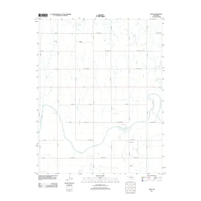
2012 Map of Eddy
USGS Topo · Published 2012About this map
Eddy sits within a landscape defined by the rigid grid of Kay County's section lines and the sinuous path of the Salt Fork Arkansas River. This 2012 survey illustrates a rural community where the agricultural economy intersects with energy extraction, evidenced by the Thomas Oil Field located in the southern portion of the quadrangle. The river’s meanders create a stark contrast to the straight corridors of W Prospect Ave and W Riverview Rd, shaping the development of local transport and land use.
Find a feature on this map
27 named features on this map. Tap any name to fly to it.
Don’t see what you’re looking for? This feature index may not catch every label — zoom into the map to look around manually.
Map Details
Editions of this 2012 Eddy Map
This is the sole edition of this map. No revisions or reprints were ever made.
Other maps of this area

1955 · Enid
USGS Topo · 1:250,000

1958 · Enid
USGS Topo · 1:250,000

1968 · Lamont SE
USGS Topo · 1:24,000

1968 · Deer Creek
USGS Topo · 1:24,000

1968 · Billings
USGS Topo · 1:24,000

1968 · Tonkawa SE
USGS Topo · 1:24,000

1968 · Eddy
USGS Topo · 1:24,000

1968 · Nardin
USGS Topo · 1:24,000

1968 · Tonkawa
USGS Topo · 1:24,000

1968 · Lamont
USGS Topo · 1:24,000