2016 Map of Eddy
USGS Topo · Published 2016About this map
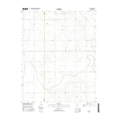
The Salt Fork Arkansas River carves a broad, winding path across this landscape on the border of Grant and Kay counties. The small settlement of Eddy sits north of the river, surrounded by a precise grid of rural roads and agricultural plots typical of north-central Oklahoma. Genealogists and local historians will find significant landmarks such as New Hope Cem to the northwest and Riverview Cem in the southern portion of the quadrangle. The hydrology of the region is defined by the river's extensive floodplain and tributaries like Deer Creek and Thompson Cr that feed into the main waterway from the north. This 2016 survey reflects the persistent rural character of the plains, where the land is primarily organized for farming and punctuated by isolated cemeteries and small township clusters.
Find a feature on this map
34 named features on this map. Tap any name to fly to it.
Don’t see what you’re looking for? This feature index may not catch every label — zoom into the map to look around manually.
Map Details
Editions of this 2016 Eddy Map
This is the sole edition of this map. No revisions or reprints were ever made.
Other maps of this area

1955 · Enid
USGS Topo · 1:250,000

1958 · Enid
USGS Topo · 1:250,000

1968 · Lamont SE
USGS Topo · 1:24,000

1968 · Deer Creek
USGS Topo · 1:24,000

1968 · Billings
USGS Topo · 1:24,000

1968 · Tonkawa SE
USGS Topo · 1:24,000

1968 · Eddy
USGS Topo · 1:24,000

1968 · Nardin
USGS Topo · 1:24,000

1968 · Tonkawa
USGS Topo · 1:24,000

1968 · Lamont
USGS Topo · 1:24,000