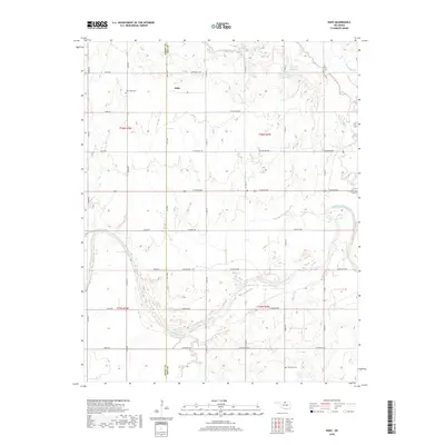
2018 Map of Eddy
USGS Topo · Published 2018About this map
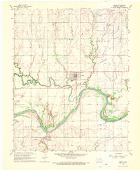
The Eddy settlement sits along the northern boundary of this Kay County landscape, marking a quiet agricultural region defined by the winding course of the Salt Fork Arkansas River. This waterway bisects the southern portion of the map, creating a broad valley floor where roads like Fountain Rd and Riverview Rd navigate the low-lying terrain. The map records several small-scale water management features including the 071018 Reservoir and 071017 Reservoir near the headwaters of Deer Cr. Cultural markers of the area's residents are preserved at New Hope Cem in the northwest and Riverview Cem in the southeast. The section lines of the Public Land Survey System dictate the orderly grid of local roads, such as W Hartford Ave and S 108th St, which connect the dispersed farmsteads of the Grant and Kay county line.
Find a feature on this map
40 named features on this map. Tap any name to fly to it.
Don’t see what you’re looking for? This feature index may not catch every label — zoom into the map to look around manually.
Map Details
Editions of this 2018 Eddy Map
This is the sole edition of this map. No revisions or reprints were ever made.
Other maps of this area

1955 · Enid
USGS Topo · 1:250,000

1958 · Enid
USGS Topo · 1:250,000
1968 · Lamont SE
USGS Topo · 1:24,000
1968 · Deer Creek
USGS Topo · 1:24,000
1968 · Billings
USGS Topo · 1:24,000
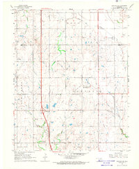
1968 · Tonkawa SE
USGS Topo · 1:24,000
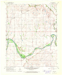
1968 · Eddy
USGS Topo · 1:24,000
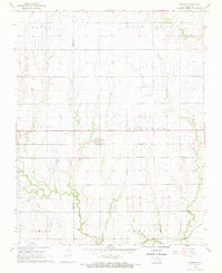
1968 · Nardin
USGS Topo · 1:24,000
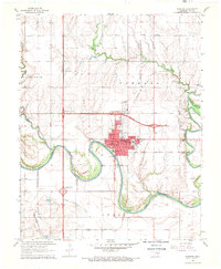
1968 · Tonkawa
USGS Topo · 1:24,000
1968 · Lamont
USGS Topo · 1:24,000