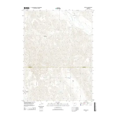
2014 Map of Eddyville
USGS Topo · Published 2014About this map
The South Loup River winds through the northern portion of this landscape, while the village of Eddyville sits along the Wood River in the southwest. This area, straddling the border of Custer Co and Dawson Co, is characterized by a dense network of drainages and named reservoirs such as Shadley Reservoir and Eutsler Reservoir.
Find a feature on this map
26 named features on this map. Tap any name to fly to it.
Don’t see what you’re looking for? This feature index may not catch every label — zoom into the map to look around manually.
Map Details
Editions of this 2014 Eddyville Map
This is the sole edition of this map. No revisions or reprints were ever made.
Other maps of this area
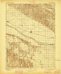
1896 · Lexington
USGS Topo · 1:125,000
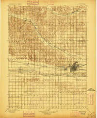
1896 · Kearney
USGS Topo · 1:125,000
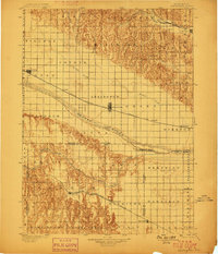
1899 · Lexington
USGS Topo · 1:125,000
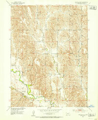
1951 · Eddyville NE
USGS Topo · 1:24,000
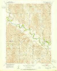
1951 · Mason City SW
USGS Topo · 1:24,000
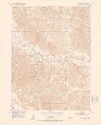
1951 · Eddyville NW
USGS Topo · 1:24,000
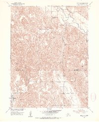
1951 · Eddyville
USGS Topo · 1:24,000
1951 · Mason City NW
USGS Topo · 1:24,000
1951 · Eddyville SW
USGS Topo · 1:24,000
1955 · Broken Bow
USGS Topo · 1:250,000