Loading...
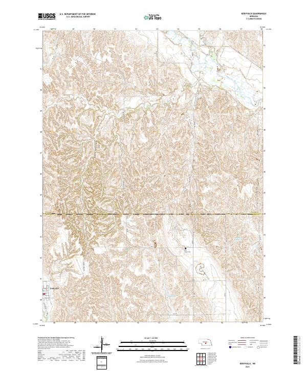
Loading map...2021 Map of Eddyville
USGS Topo · Published 2021About this map
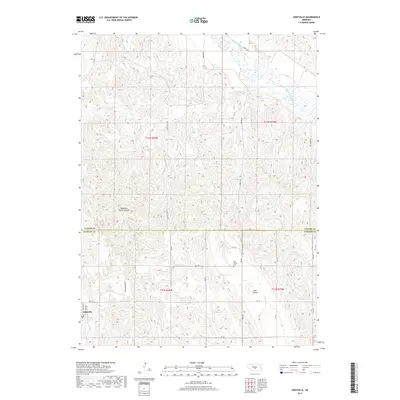
Eddyville sits at the southwestern edge of this landscape, situated near the headwaters of the Wood River. The terrain is defined by the high tablelands of the Custer and Dawson county line, where the land drops away into deep drainage systems like Buzzards Roost Canyon. This transition from high prairie to carved valley is a hallmark of the central Nebraska loess hills, where water management is evident through features such as Shadley Reservoir and Eutsler Reservoir.
Find a feature on this map
32 named features on this map. Tap any name to fly to it.
Don’t see what you’re looking for? This feature index may not catch every label — zoom into the map to look around manually.
Map Details
Date Portrayed2021
Date Published2021
PublisherU.S. Geological Survey
Map TypeTopographic
Scale1:24,000
Physical Dimensions24 x 29 inches
Editions of this 2021 Eddyville Map
This is the sole edition of this map. No revisions or reprints were ever made.
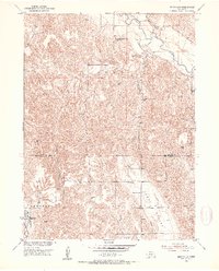
Historical Maps of Eddyville Through Time
5 maps found
Featured Locations
Source Details
SourceU.S. Geological Survey
CopyrightPublic Domain