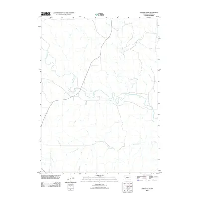
2011 Map of Eddyville NW
USGS Topo · Published 2011About this map
The South Loup River carves a winding path across this section of Custer County, defining the drainage patterns for the surrounding Nebraska prairie. This survey captures a rural landscape dominated by natural watercourses, where the river's broad meanders contrast with the straighter channels of Ash Creek to the north. In the southern reaches of the map, the headwaters and tributaries of Burr Oak Creek and the Wood River begin to emerge, illustrating the subtle divide between different watershed systems. The road network follows the section lines typical of the Great Plains, occasionally diverging to bridge the river and its smaller feeders. This map provides a clear view of the hydrological features that have dictated land use and property boundaries in this part of the state for generations.
Find a feature on this map
4 named features on this map. Tap any name to fly to it.
Don’t see what you’re looking for? This feature index may not catch every label — zoom into the map to look around manually.
Map Details
Editions of this 2011 Eddyville NW Map
This is the sole edition of this map. No revisions or reprints were ever made.
Other maps of this area

1951 · Broken Bow SW
USGS Topo · 1:24,000

1951 · Broken Bow SE
USGS Topo · 1:24,000

1951 · Eddyville NE
USGS Topo · 1:24,000

1951 · Callaway SE
USGS Topo · 1:24,000

1951 · Eddyville NW
USGS Topo · 1:24,000

1951 · Oconto SE
USGS Topo · 1:24,000

1951 · Eddyville
USGS Topo · 1:24,000

1951 · Eddyville SW
USGS Topo · 1:24,000

1951 · Oconto
USGS Topo · 1:24,000

1955 · Broken Bow
USGS Topo · 1:250,000