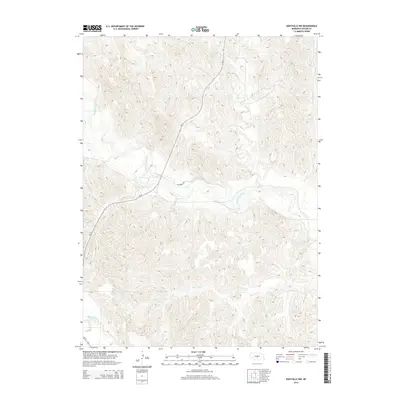
2014 Map of Eddyville NW
USGS Topo · Published 2014About this map
The South Loup River winds through the central portion of this Custer County landscape, creating a distinct hydrological corridor across the Nebraska plains. This 2014 survey documents the intricate drainage patterns of the region, where numerous small draws and coulees feed into major watercourses like Ash Cr and Burr Oak Cr. The topography is defined by significant elevation changes between the dissected plateaus and the lower river valleys, illustrating the complex erosion patterns typical of this part of the state. Human infrastructure is concentrated primarily along established transit routes such as Ne-21 and Riverbend Rd, while the southern margin of the sheet is touched by the headwaters of the Wood River. The map provides a clear view of the rural section lines and local road networks that serve this agricultural and pastoral terrain.
Find a feature on this map
7 named features on this map. Tap any name to fly to it.
Don’t see what you’re looking for? This feature index may not catch every label — zoom into the map to look around manually.
Map Details
Editions of this 2014 Eddyville NW Map
This is the sole edition of this map. No revisions or reprints were ever made.
Other maps of this area
1951 · Broken Bow SW
USGS Topo · 1:24,000
1951 · Broken Bow SE
USGS Topo · 1:24,000
1951 · Eddyville NE
USGS Topo · 1:24,000
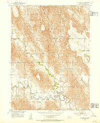
1951 · Callaway SE
USGS Topo · 1:24,000
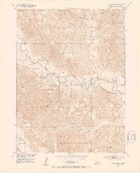
1951 · Eddyville NW
USGS Topo · 1:24,000
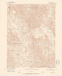
1951 · Oconto SE
USGS Topo · 1:24,000
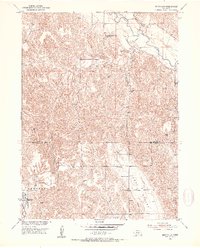
1951 · Eddyville
USGS Topo · 1:24,000
1951 · Eddyville SW
USGS Topo · 1:24,000
1951 · Oconto
USGS Topo · 1:24,000
1955 · Broken Bow
USGS Topo · 1:250,000