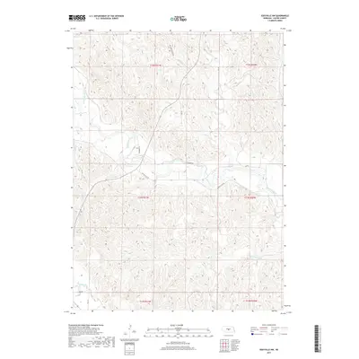
2017 Map of Eddyville NW
USGS Topo · Published 2017About this map
The South Loup River winds through this section of Custer County, shaping a valley where the primary transportation corridors follow the water's path. In this cattle-country landscape, Riverbend Rd and Dr 783 parallel the riverbanks, connecting the isolated homesteads and ranch lands that define the region. The topography is dominated by the intricate drainage systems of Ash Cr and Burr Oak Cr, which cut through the Nebraska loess hills toward the larger river valley below.
Find a feature on this map
19 named features on this map. Tap any name to fly to it.
Don’t see what you’re looking for? This feature index may not catch every label — zoom into the map to look around manually.
Map Details
Editions of this 2017 Eddyville NW Map
This is the sole edition of this map. No revisions or reprints were ever made.
Other maps of this area
1951 · Broken Bow SW
USGS Topo · 1:24,000
1951 · Broken Bow SE
USGS Topo · 1:24,000
1951 · Eddyville NE
USGS Topo · 1:24,000
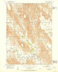
1951 · Callaway SE
USGS Topo · 1:24,000
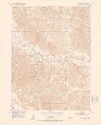
1951 · Eddyville NW
USGS Topo · 1:24,000
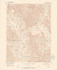
1951 · Oconto SE
USGS Topo · 1:24,000
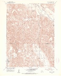
1951 · Eddyville
USGS Topo · 1:24,000
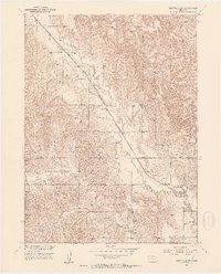
1951 · Eddyville SW
USGS Topo · 1:24,000
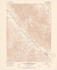
1951 · Oconto
USGS Topo · 1:24,000
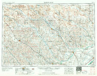
1955 · Broken Bow
USGS Topo · 1:250,000