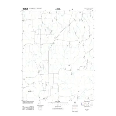
2012 Map of Eddyville
USGS Topo · Published 2012About this map
Eddyville serves as a focal point for this landscape in the southern Illinois hills, where a dense network of country cemeteries and rural roads defines the local geography. The map reveals a high concentration of burial grounds including Evans Cem, Cedar Bluff Cem, and Morse Cem, which provide significant points of reference for genealogists tracking early families of Pope County. The winding course of Lusk Cr and its various tributaries like Little Lusk Cr and Little Bear Br carve through the terrain, creating named features such as Dog Hollow and the Indian Kitchen Point of Interest. Settlements are modest and scattered, with Delwood and Oak appearing as small nodes along routes like G and G Rd and McAnelly Creek Rd. This survey documents a quiet rural area where land use is dictated by the complex drainage patterns of the Bay Cr and Lusk Cr basins.
Find a feature on this map
49 named features on this map. Tap any name to fly to it.
Don’t see what you’re looking for? This feature index may not catch every label — zoom into the map to look around manually.
Map Details
Editions of this 2012 Eddyville Map
This is the sole edition of this map. No revisions or reprints were ever made.
Other maps of this area

1916 · Golconda
USGS Topo · 1:62,500

1916 · Equality
USGS Topo · 1:62,500

1917 · Brownfield
USGS Topo · 1:62,500

1920 · Goloonda
USGS Topo · 1:48,000

1921 · Golconda
USGS Topo · 1:62,500

1925 · Harrisburg
USGS Topo · 1:62,500

1939 · Harrisburg
USGS Topo · 1:62,500

1949 · Paducah
USGS Topo · 1:250,000

1950 · Paducah
USGS Topo · 1:250,000

1954 · Paducah
USGS Topo · 1:250,000