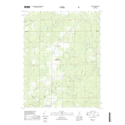
2018 Map of Eddyville
USGS Topo · Published 2018About this map
Shawnee National Forest encompasses much of this Pope County landscape, where the village of Eddyville serves as a southern anchor near the junction of several historic routes. The map reveals a dense network of country cemeteries and church sites, such as New Home Cem and Blanchard Church, which speak to the area's deep-rooted rural genealogy. The terrain is marked by distinctive geological features like Double Branch Hole and Buzzard Roost Hollow, suggesting the complex drainage systems of Lusk Creek and its many tributaries. Of particular interest to hikers and historians is the presence of the River to River Loop and the Indian Kitchen Trail, which follow the natural contours of the land. Further north, the small settlements of Delwood and Oak are positioned along roads like Old Strech, reflecting the region's long-standing reliance on winding ridge-top and valley floor transportation.
Find a feature on this map
83 named features on this map. Tap any name to fly to it.
Don’t see what you’re looking for? This feature index may not catch every label — zoom into the map to look around manually.
Map Details
Editions of this 2018 Eddyville Map
This is the sole edition of this map. No revisions or reprints were ever made.
Other maps of this area

1916 · Golconda
USGS Topo · 1:62,500

1916 · Equality
USGS Topo · 1:62,500

1917 · Brownfield
USGS Topo · 1:62,500

1920 · Goloonda
USGS Topo · 1:48,000

1921 · Golconda
USGS Topo · 1:62,500

1925 · Harrisburg
USGS Topo · 1:62,500

1939 · Harrisburg
USGS Topo · 1:62,500

1949 · Paducah
USGS Topo · 1:250,000

1950 · Paducah
USGS Topo · 1:250,000

1954 · Paducah
USGS Topo · 1:250,000