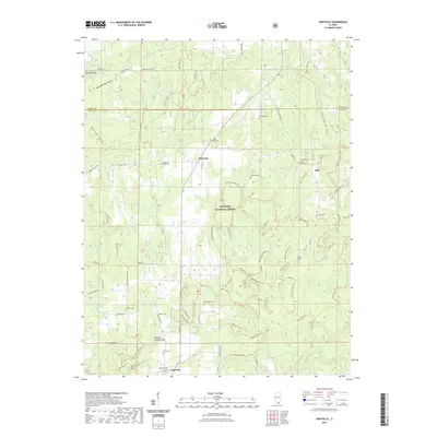
2021 Map of Eddyville
USGS Topo · Published 2021About this map
Shawnee National Forest encompasses much of this southern Illinois landscape, where the rugged terrain is carved by the complex drainage of Lusk Creek and Bay Creek. The area is characterized by a dense network of trails and primitive roads, such as the Lusk Creek Trail and Blanchard Church Trail, reflecting its importance for conservation and recreation. Notable topographic features like Murray Bluff and the natural depressions of Jackson Hole and Double Branch Hole define the local relief north of Eddyville.
Find a feature on this map
107 named features on this map. Tap any name to fly to it.
Don’t see what you’re looking for? This feature index may not catch every label — zoom into the map to look around manually.
Map Details
Editions of this 2021 Eddyville Map
This is the sole edition of this map. No revisions or reprints were ever made.
Other maps of this area

1916 · Golconda
USGS Topo · 1:62,500

1916 · Equality
USGS Topo · 1:62,500

1917 · Brownfield
USGS Topo · 1:62,500

1920 · Goloonda
USGS Topo · 1:48,000

1921 · Golconda
USGS Topo · 1:62,500

1925 · Harrisburg
USGS Topo · 1:62,500

1939 · Harrisburg
USGS Topo · 1:62,500

1949 · Paducah
USGS Topo · 1:250,000

1950 · Paducah
USGS Topo · 1:250,000

1954 · Paducah
USGS Topo · 1:250,000