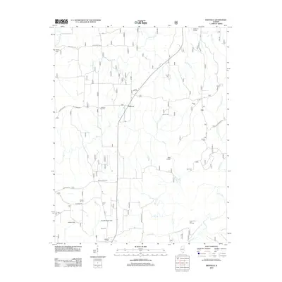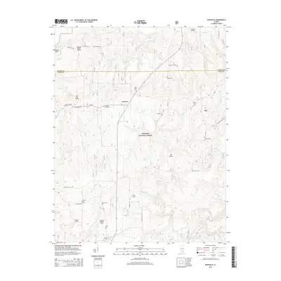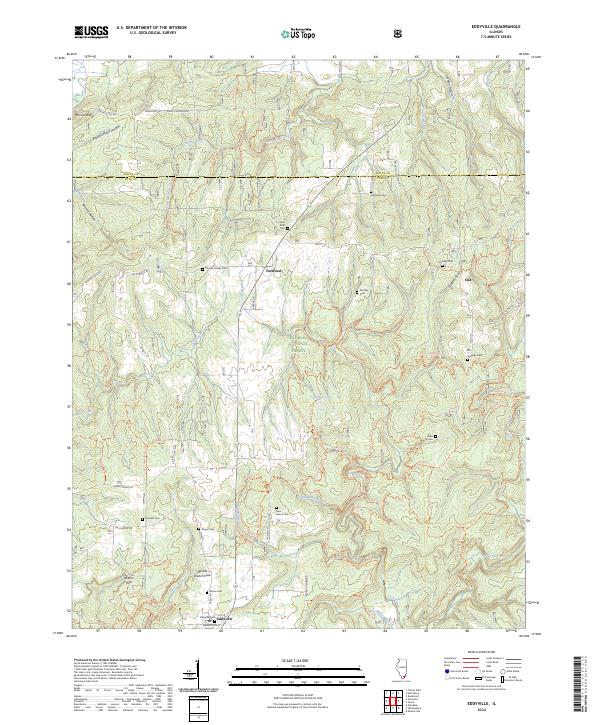
2024 Map of Eddyville
USGS Topo · Published 2024About this map
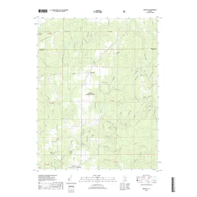
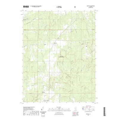
The village of Eddyville sits at a crossroads in the southern portion of this region, surrounded by the protected lands of the Shawnee National Forest. This modern topographical study captures a landscape defined by its deep creek valleys and numerous family cemeteries, which serve as vital markers for local genealogical research. The drainage patterns of Lusk Creek and Bay Creek carve through the terrain, with specific water features like Jackson Hole and Double Branch Hole noting unique hydrological points.
Find a feature on this map
52 named features on this map. Tap any name to fly to it.
Don’t see what you’re looking for? This feature index may not catch every label — zoom into the map to look around manually.
Map Details
Editions of this 2024 Eddyville Map
This is the sole edition of this map. No revisions or reprints were ever made.
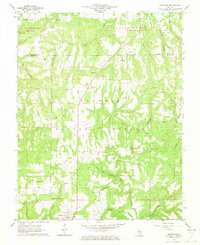
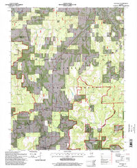
Historical Maps of Eddyville Through Time
7 maps found