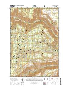
2014 Map of Eden Ridge
USGS Topo · Published 2014About this map
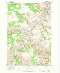
Eden and the high plateaus of Wallowa County define this landscape near the Washington and Oregon border. High-altitude meadows and flats, such as Moore Flat and Grouse Flat, sit between deep river canyons. The rugged descent of the Wenaha Breaks leads down toward the confluence of the Wenaha River and the Grande Ronde River at Fairview Bar, illustrating the extreme topographic relief of the northern Blue Mountains. This region, largely contained within the Umatilla National Forest, shows a network of forest development roads accessing remote ridges like Patterson Ridge and Hoodoo Ridge. Local history is anchored by the Eden Cem, a small burial ground serving the dispersed homesteads and grazing lands that once dotted Eden Ridge. Numerous named springs, including Soap Spring and Fenton Spring, indicate the critical importance of water sources for both wildlife and livestock in this high-country environment.
Find a feature on this map
63 named features on this map. Tap any name to fly to it.
Don’t see what you’re looking for? This feature index may not catch every label — zoom into the map to look around manually.
Map Details
Editions of this 2014 Eden Ridge Map
This is the sole edition of this map. No revisions or reprints were ever made.
Other maps of this area
1937 · Pomeroy
USGS Topo · 1:96,000
1942 · Pomeroy
USGS Topo · 1:125,000
1943 · Saddle Butte
USGS Topo · 1:62,500
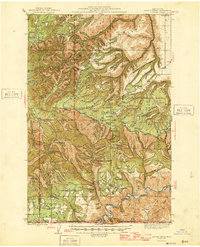
1946 · Saddle Butte
USGS Topo · 1:62,500
1955 · Pullman
USGS Topo · 1:250,000

1955 · Grangeville
USGS Topo · 1:250,000
1958 · Pullman
USGS Topo · 1:250,000

1959 · Grangeville
USGS Topo · 1:250,000
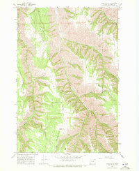
1967 · Wood Butte
USGS Topo · 1:24,000
1967 · Troy
USGS Topo · 1:24,000