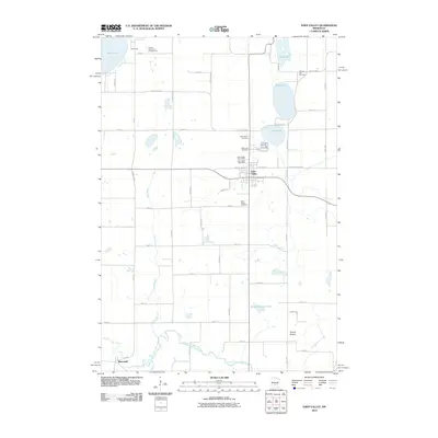
2010 Map of Eden Valley
USGS Topo · Published 2010About this map
Eden Valley sits at the heart of this central Minnesota landscape, where the local economy and geography are defined by a network of glacial lakes and the winding North Fork Crow River. The settlement pattern is anchored by small communities like Manannah and seasonal recreational sites including Fishers Resort and Campground and T.T.T. Camp. Numerous burial grounds, such as Old Eden Lake Cemetery, Assumption Cemetery, and Saint Peters Cemetery, provide significant points of interest for genealogists tracing early families in Meeker and Stearns counties. The transition from the aquatic environment of Eden Lake and Vails Lake to the open expanse of Tyrone Prairie illustrate the diverse land use in this region, ranging from lakeside resorts to traditional prairie farming and the essential services at the Eden Valley Post Office.
Find a feature on this map
52 named features on this map. Tap any name to fly to it.
Don’t see what you’re looking for? This feature index may not catch every label — zoom into the map to look around manually.
Map Details
Editions of this 2010 Eden Valley Map
This is the sole edition of this map. No revisions or reprints were ever made.
Other maps of this area

1953 · Saint Cloud
USGS Topo · 1:250,000

1957 · Saint Cloud
USGS Topo · 1:250,000

1958 · Saint Cloud
USGS Topo · 1:250,000

1958 · Dassel
USGS Topo · 1:62,500

1967 · Cold Spring
USGS Topo · 1:24,000

1967 · Grove City
USGS Topo · 1:24,000

1967 · Paynesville
USGS Topo · 1:24,000

1967 · Litchfield North
USGS Topo · 1:24,000

1967 · Lake Koronis
USGS Topo · 1:24,000

1967 · Richmond
USGS Topo · 1:24,000