
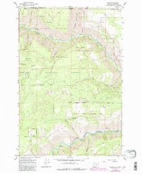
1967 Map of Eden
USGS Topo · Published 1971About this map
The Umatilla National Forest straddles the state line in this mid-century survey, covering a remote corner of Wallowa County where the Wenaha River and Grande Ronde River carve deep through the plateau. Small signs of community life appear at Eden Community Hall and the nearby Eden Cem, located along the high ground of Eden Ridge. The landscape is defined by its dramatic relief, from the low riverside flats at Fairview Bar to the high vantage of the Hoodoo Lookout Tower on Hoodoo Ridge. The map documents a network of primitive travel routes, including a Pack Trail and numerous Jeep Trails that connect scattered water sources like Dan Gold Spring and Thorn Spring. This area represents the intersection of forest management and early twentieth-century homesteading, where isolated structures like a Guard Station and lone Cabin were essential for life in the Blue Mountains.
Find a feature on this map
48 named features on this map. Tap any name to fly to it.
Don’t see what you’re looking for? This feature index may not catch every label — zoom into the map to look around manually.
Map Details
Editions of this 1967 Eden Map
2 editions found
Other maps of this area

1937 · Pomeroy
USGS Topo · 1:96,000

1942 · Pomeroy
USGS Topo · 1:125,000

1943 · Saddle Butte
USGS Topo · 1:62,500

1946 · Saddle Butte
USGS Topo · 1:62,500

1955 · Pullman
USGS Topo · 1:250,000

1955 · Grangeville
USGS Topo · 1:250,000

1958 · Pullman
USGS Topo · 1:250,000

1959 · Grangeville
USGS Topo · 1:250,000

1967 · Wood Butte
USGS Topo · 1:24,000

1967 · Troy
USGS Topo · 1:24,000