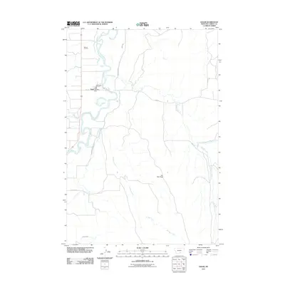
2011 Map of Edgar
USGS Topo · Published 2011About this map
The Clarks Fork Yellowstone River carves a winding path through this portion of Carbon County, anchoring the agricultural and residential life centered around Edgar. This rural landscape is defined by its water management systems, notably the Edgar Canal and O Connor Ditch, which redirect water from the river to support the surrounding valley. The settlement of Edgar itself is concentrated near the intersection of the river and local roads like Elwell St, housing essential civic landmarks such as the Edgar Post Office and the Edgar Rural Fire Dist 4.
Find a feature on this map
19 named features on this map. Tap any name to fly to it.
Don’t see what you’re looking for? This feature index may not catch every label — zoom into the map to look around manually.
Map Details
Editions of this 2011 Edgar Map
This is the sole edition of this map. No revisions or reprints were ever made.
Other maps of this area
1954 · Billings
USGS Topo · 1:250,000
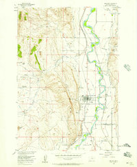
1956 · Bridger
USGS Topo · 1:24,000
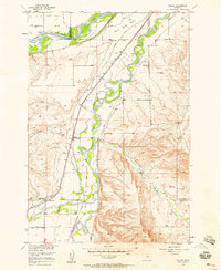
1956 · Silesia
USGS Topo · 1:24,000
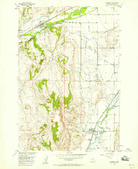
1956 · Fromberg
USGS Topo · 1:24,000
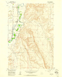
1956 · Edgar
USGS Topo · 1:24,000
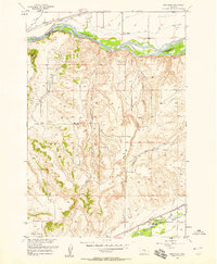
1956 · Montaqua
USGS Topo · 1:24,000
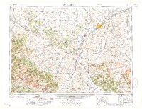
1957 · Billings
USGS Topo · 1:250,000
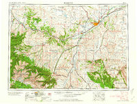
1958 · Billings
USGS Topo · 1:250,000
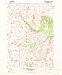
1967 · Section House Draw
USGS Topo · 1:24,000
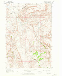
1967 · Bluewater
USGS Topo · 1:24,000