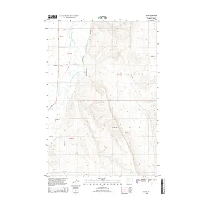
2014 Map of Edgar
USGS Topo · Published 2014About this map
The Clarks Fork Yellowstone River carves through this portion of Carbon County, anchoring a landscape defined by an intricate network of early irrigation systems. The small community of Edgar sits along Us-310, serving as a central point for the surrounding agricultural tracts. The engineering of the valley is evident in the numerous water management features like the Prosperity-Granite Ditch, Edgar Canal, and Orchard Canal, which divert water to sustain the local farms and ranches.
Find a feature on this map
27 named features on this map. Tap any name to fly to it.
Don’t see what you’re looking for? This feature index may not catch every label — zoom into the map to look around manually.
Map Details
Editions of this 2014 Edgar Map
This is the sole edition of this map. No revisions or reprints were ever made.
Other maps of this area
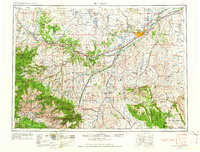
1954 · Billings
USGS Topo · 1:250,000
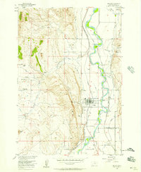
1956 · Bridger
USGS Topo · 1:24,000
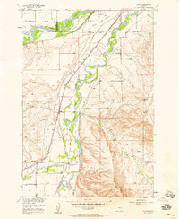
1956 · Silesia
USGS Topo · 1:24,000
1956 · Fromberg
USGS Topo · 1:24,000
1956 · Edgar
USGS Topo · 1:24,000
1956 · Montaqua
USGS Topo · 1:24,000
1957 · Billings
USGS Topo · 1:250,000
1958 · Billings
USGS Topo · 1:250,000
1967 · Section House Draw
USGS Topo · 1:24,000
1967 · Bluewater
USGS Topo · 1:24,000