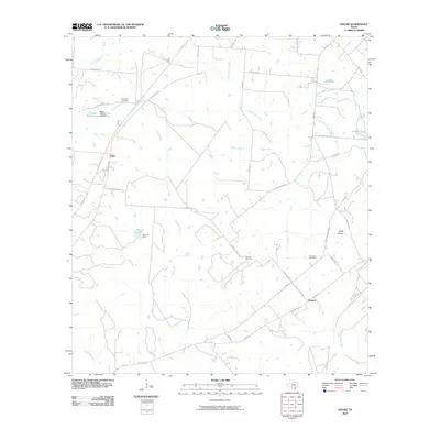
2010 Map of Edgar
USGS Topo · Published 2010About this map
Stratton and Edgar anchor this rural DeWitt County landscape, defined by a network of ranching roads and shifting watercourses in the early 21st century. The terrain is marked by numerous small tanks and creek branches, including Irish Creek, Willow Prong, and Little Brushy Creek, which drain toward the larger Sandy Fork and Cuero Creek systems. The map captures a high degree of local nomenclature for family-named infrastructure, seen in routes like Old Yoakum Rd and Sapp Rd. Genealogists will find particular value in the documentation of several distinct burial sites, such as Evergreen Cemetery near the northern border and Leesville Cemetery and Alexander Cemetery situated further south. Significant private ranch features like Flying F Ranch Lake and Morrow Lake reflect the area's agricultural and water management history.
Find a feature on this map
43 named features on this map. Tap any name to fly to it.
Don’t see what you’re looking for? This feature index may not catch every label — zoom into the map to look around manually.
Map Details
Editions of this 2010 Edgar Map
This is the sole edition of this map. No revisions or reprints were ever made.
Other maps of this area

1953 · Seguin
USGS Topo · 1:250,000

1958 · Seguin
USGS Topo · 1:250,000

1959 · Hochheim
USGS Topo · 1:24,000

1960 · Cuero
USGS Topo · 1:24,000

1960 · Concrete
USGS Topo · 1:24,000

1962 · Verhelle
USGS Topo · 1:24,000

1962 · Edgar
USGS Topo · 1:24,000

1962 · Terryville
USGS Topo · 1:24,000

1963 · Yoakum
USGS Topo · 1:24,000

1963 · Fordtran
USGS Topo · 1:24,000