Loading...
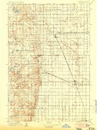
Loading map...1896 Map of Edgeley
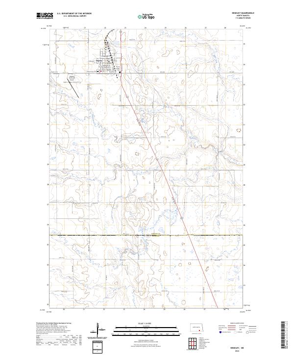
USGS Topo · Published 1904About this map
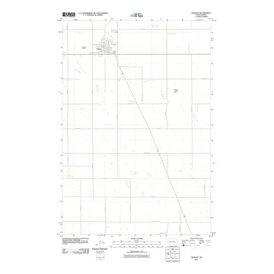
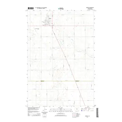
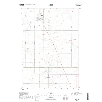
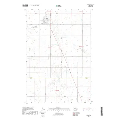
Edgeley and Kulm stand as the primary hubs of this prairie landscape during a period of rapid railroad expansion across North Dakota. The map reveals a complex web of competing rail lines, including the Northern Pacific Railroad Fargo and Southwestern Br. terminating at Edgeley, and the crossing of the Chicago Milwaukee and St. Paul R. R. and the Minneapolis St. Paul and Sault Ste. Marie R. R. near Monango.
Find a feature on this map
35 named features on this map. Tap any name to fly to it.
Don’t see what you’re looking for? This feature index may not catch every label — zoom into the map to look around manually.
Map Details
Date Portrayed1896
Date Published1904
PublisherU.S. Geological Survey
Map TypeTopographic
Scale1:125,000
Physical Dimensions14.5 x 19.4 inches
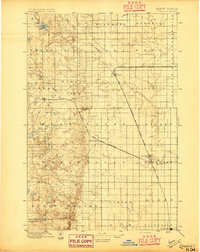
Editions of this 1896 Edgeley Map
2 editions found
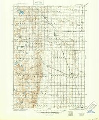
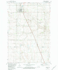
Historical Maps of Ellendale Through Time
8 maps found
Featured Locations
Source Details
SourceU.S. Geological Survey
CopyrightPublic Domain