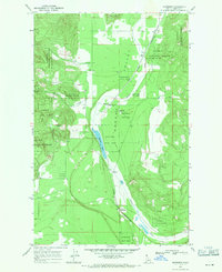
1968 Map of Edgemere
USGS Topo · Published 1971About this map
Hoodoo Valley forms the central corridor of this Idaho landscape, where the Spokane International railroad parallels the winding course of Hoodoo Creek. The late 1960s terrain is dominated by the Kaniksu National Forest, with the southern reaches of the valley anchored by the settlement of Clagstone. Further north, the namesake community of Edgemere sits near the shores of Hoodoo Lake, supported by the local Edgemere Sch. Small hamlets like Vay and Harlem appear as distinct rail or road points within the valley floor. To the west, the land rises sharply toward Horn Mtn, carved by Curtis Creek. The map documents a rural timber and transport economy, where scattered Gravel Pits and primitive roads service isolated homesteads and forest tracts.
Find a feature on this map
19 named features on this map. Tap any name to fly to it.
Don’t see what you’re looking for? This feature index may not catch every label — zoom into the map to look around manually.
Map Details
Editions of this 1968 Edgemere Map
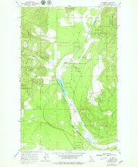
2 editions found
Other maps of this area

1901 · Sandpoint
USGS Topo · 1:125,000

1903 · Rathdrum
USGS Topo · 1:125,000

1911 · Priest Lake
USGS Topo · 1:250,000

1911 · Sandpoint
USGS Topo · 1:125,000

1913 · Priest Lake
USGS Topo · 1:250,000

1955 · Spokane
USGS Topo · 1:250,000

1958 · Spokane
USGS Topo · 1:250,000

1958 · Sandpoint
USGS Topo · 1:250,000

1961 · Spirit Lake East
USGS Topo · 1:24,000

1961 · Athol
USGS Topo · 1:24,000