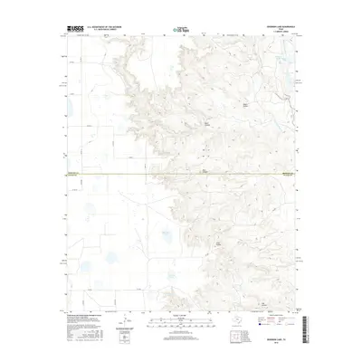
2016 Map of Edgemon Lake
USGS Topo · Published 2016About this map
Edgemon Lake and Emerson Lake sit atop the High Plains floor, marking a landscape where the flat Llano Estacado suddenly gives way to the deep erosional breaks of the Caprock. This transition is sharply defined by the descent into Dark Canyon and Pole Canyon, where the headwaters of Los Lingos Cr and Turkey Cr have carved intricate drainages into the escarpment. Along the northern edge, Red Rock Spring feeds into Grahams Lake, illustrating the vital role of surface water in this arid ranching country.
Find a feature on this map
29 named features on this map. Tap any name to fly to it.
Don’t see what you’re looking for? This feature index may not catch every label — zoom into the map to look around manually.
Map Details
Editions of this 2016 Edgemon Lake Map
This is the sole edition of this map. No revisions or reprints were ever made.
Other maps of this area
1954 · Plainview
USGS Topo · 1:250,000
1958 · Plainview
USGS Topo · 1:250,000
1965 · Whiteley
USGS Topo · 1:24,000
1965 · Silverton
USGS Topo · 1:24,000
1966 · South Plains
USGS Topo · 1:24,000
1967 · Quitaque
USGS Topo · 1:24,000
1967 · Quitaque Peaks
USGS Topo · 1:24,000
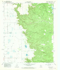
1967 · Edgemon Lake
USGS Topo · 1:24,000
1967 · Hay Lake
USGS Topo · 1:24,000
1967 · Wilson Creek
USGS Topo · 1:24,000