
1966 Map of South Plains
USGS Topo · Published 1967About this map
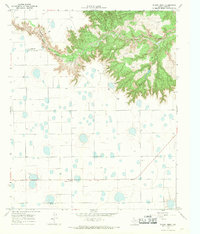
The settlement of South Plains sits atop the high Caprock escarpment, a landscape defined by its agricultural utility and the infrastructure of the Southern Plains. This mid-1960s survey by the Geological Survey and the Texas Water Development Board illustrates a plateau heavily modified for irrigation and industry. The presence of numerous Well sites and the Cedar Hill Cotton Gin highlights the area's reliance on groundwater and its role in the regional cotton economy.
Find a feature on this map
7 named features on this map. Tap any name to fly to it.
Don’t see what you’re looking for? This feature index may not catch every label — zoom into the map to look around manually.
Map Details
Editions of this 1966 South Plains Map
This is the sole edition of this map. No revisions or reprints were ever made.
Other maps of this area

1954 · Plainview
USGS Topo · 1:250,000

1958 · Plainview
USGS Topo · 1:250,000

1965 · Whiteley
USGS Topo · 1:24,000

1965 · Lockney SE
USGS Topo · 1:24,000

1965 · Silverton SW
USGS Topo · 1:24,000

1965 · Lockney
USGS Topo · 1:24,000

1966 · Sterley
USGS Topo · 1:24,000

1966 · Lockney 4 SW
USGS Topo · 1:24,000

1967 · Edgemon Lake
USGS Topo · 1:24,000
1967 · Wilson Creek
USGS Topo · 1:24,000