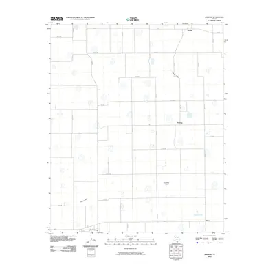
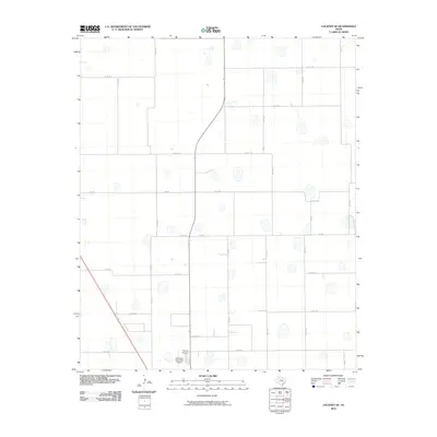
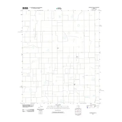
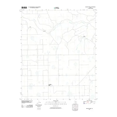
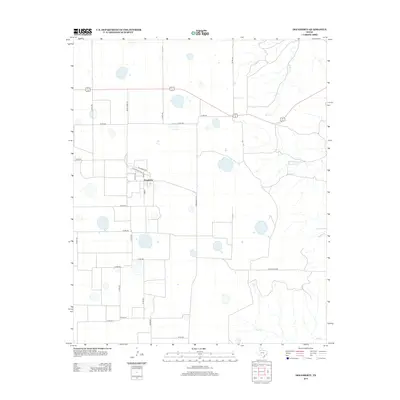
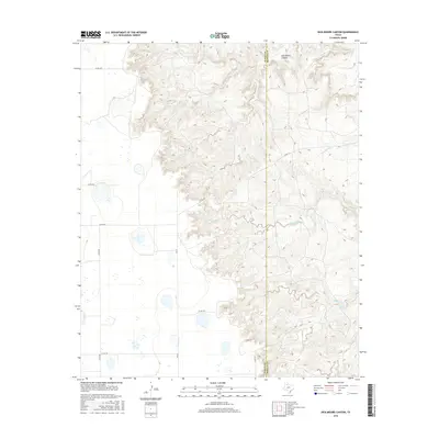
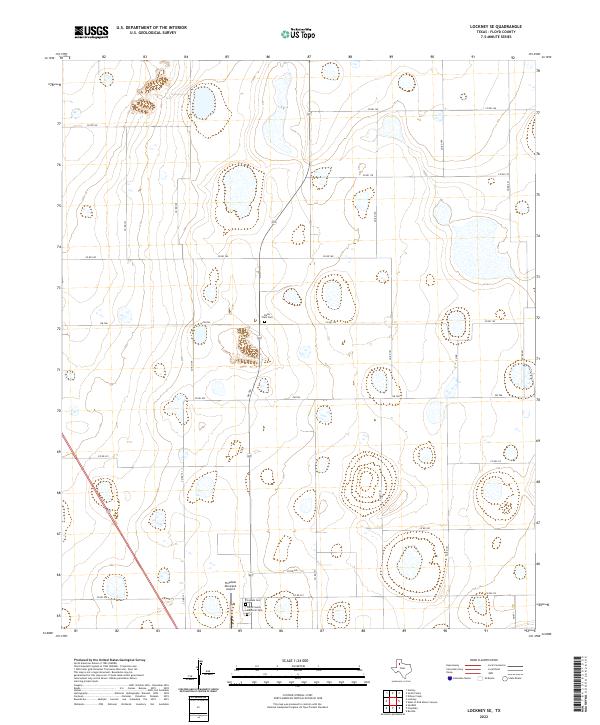
1965 Map of Lockney SE
USGS Topo · Published 1967About this map
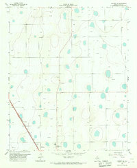
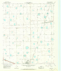
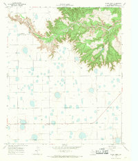
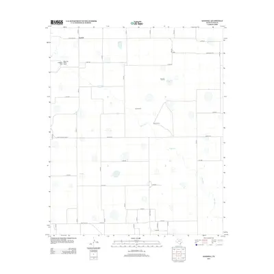
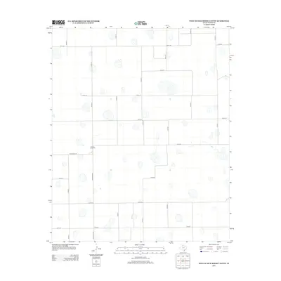
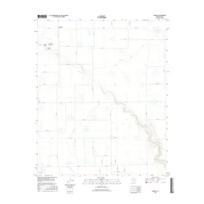
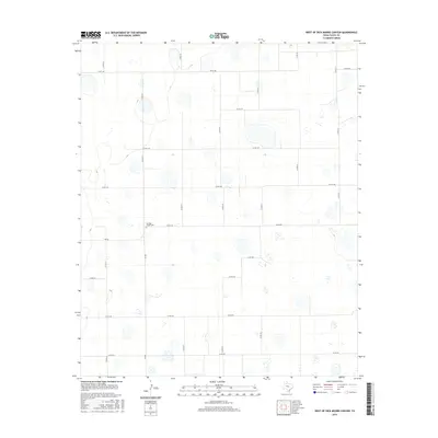
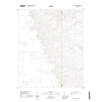
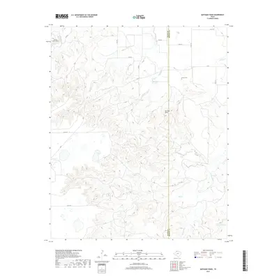
The High Plains of Floyd County are captured here during a period of intensive agricultural and industrial utility. The landscape is defined by a dense network of water resources, with numerous Wells and depressions punctuating the terrain, reflecting the region's reliance on groundwater. Transportation and commerce are anchored by the Atchison Topeka and Santa Fe railroad, which cuts diagonally across the southwestern corner. Small rural hubs like Massey and Muncy provide local orientation, while the southern edge of the map near the Floydada Cemetery and County Memorial Park indicates the northern outskirts of the county seat. This 1965 survey also documents the local extraction industry with several Gravel Pits and a Quarry, alongside the Floydada Landing Strip, illustrating the infrastructure required to support this Texas Panhandle community.
Find a feature on this map
10 named features on this map. Tap any name to fly to it.
Don’t see what you’re looking for? This feature index may not catch every label — zoom into the map to look around manually.
Map Details
Editions of this 1965 Lockney SE Map
This is the sole edition of this map. No revisions or reprints were ever made.
Historical Maps of Center Through Time
78 maps found
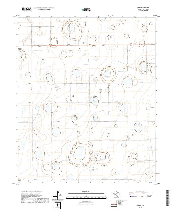
1965 Boothe
Floyd County, TX
1965 Lockney SE
Floyd County, TX
1965 Sandhill
Floyd County, TX
1965 Silverton SW
Floyd County, TX

1966 South Plains
Floyd County, TX
1966 Sterley
Floyd County, TX
1966 West of Dick Moore Canyon
Floyd County, TX
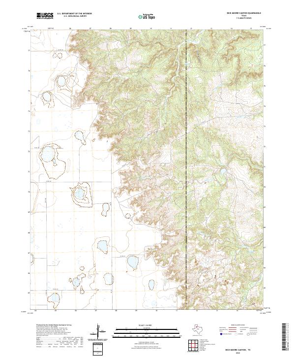
1967 Dick Moore Canyon
Floyd County, TX
1967 Quitaque Peaks
Floyd County, TX
1967 Wilson Creek
Floyd County, TX
1968 Barwise
Floyd County, TX
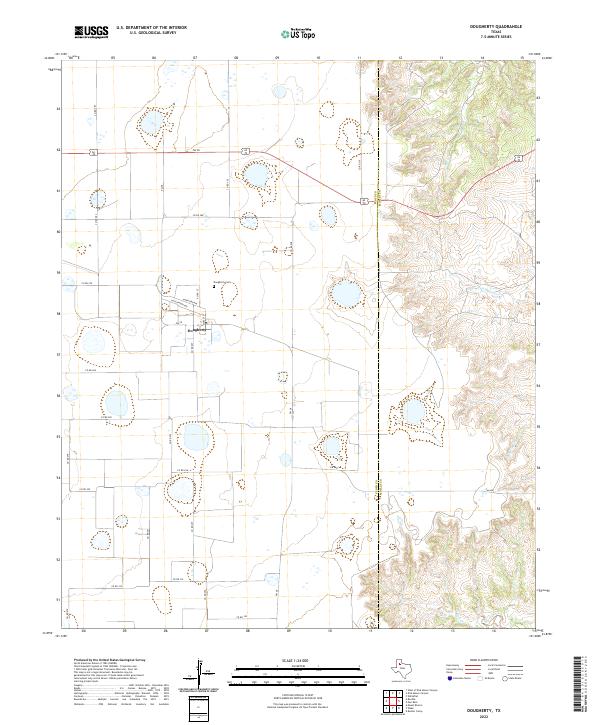
1968 Dougherty
Floyd County, TX
1968 Plainview SE
Floyd County, TX
2010 Barwise
Floyd County, TX
2010 Boothe
Floyd County, TX
2010 Dick Moore Canyon
Floyd County, TX
2010 Dougherty
Floyd County, TX
2010 Lockney SE
Floyd County, TX
2010 Plainview SE
Floyd County, TX
2010 Quitaque Peaks
Floyd County, TX
2010 Sandhill
Floyd County, TX
2010 Silverton SW
Floyd County, TX
2010 South Plains
Floyd County, TX
2010 Sterley
Floyd County, TX
2010 West of Dick Moore Canyon
Floyd County, TX
2010 Wilson Creek
Floyd County, TX
2012 Barwise
Floyd County, TX
2012 Boothe
Floyd County, TX
2012 Dick Moore Canyon
Floyd County, TX
2012 Dougherty
Floyd County, TX
2012 Lockney SE
Floyd County, TX
2012 Plainview SE
Floyd County, TX
2012 Quitaque Peaks
Floyd County, TX
2012 Sandhill
Floyd County, TX
2012 Silverton SW
Floyd County, TX
2012 South Plains
Floyd County, TX
2012 Sterley
Floyd County, TX
2012 West of Dick Moore Canyon
Floyd County, TX
2012 Wilson Creek
Floyd County, TX
2016 Barwise
Floyd County, TX
2016 Boothe
Floyd County, TX
2016 Dick Moore Canyon
Floyd County, TX
2016 Dougherty
Floyd County, TX

2016 Lockney SE
Floyd County, TX
2016 Plainview SE
Floyd County, TX
2016 Quitaque Peaks
Floyd County, TX
2016 Sandhill
Floyd County, TX
2016 Silverton SW
Floyd County, TX
2016 South Plains
Floyd County, TX
2016 Sterley
Floyd County, TX
2016 West of Dick Moore Canyon
Floyd County, TX
2016 Wilson Creek
Floyd County, TX
2019 Barwise
Floyd County, TX
2019 Boothe
Floyd County, TX
2019 Dick Moore Canyon
Floyd County, TX
2019 Dougherty
Floyd County, TX
2019 Lockney SE
Floyd County, TX
2019 Plainview SE
Floyd County, TX
2019 Quitaque Peaks
Floyd County, TX
2019 Sandhill
Floyd County, TX
2019 Silverton SW
Floyd County, TX
2019 South Plains
Floyd County, TX
2019 Sterley
Floyd County, TX
2019 West of Dick Moore Canyon
Floyd County, TX
2019 Wilson Creek
Floyd County, TX
2022 Barwise
Floyd County, TX
2022 Boothe
Floyd County, TX
2022 Dick Moore Canyon
Floyd County, TX
2022 Dougherty
Floyd County, TX
2022 Lockney SE
Floyd County, TX
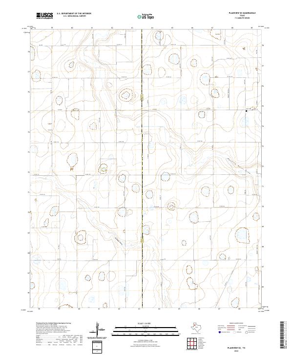
2022 Plainview SE
Floyd County, TX
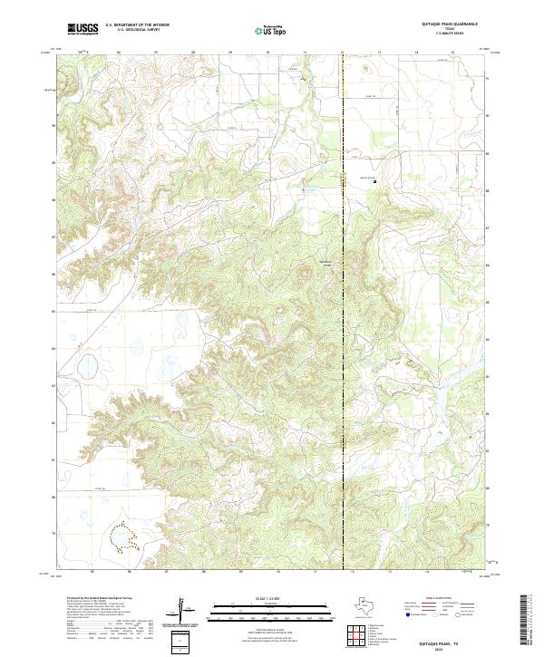
2022 Quitaque Peaks
Floyd County, TX
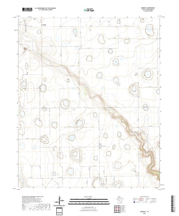
2022 Sandhill
Floyd County, TX
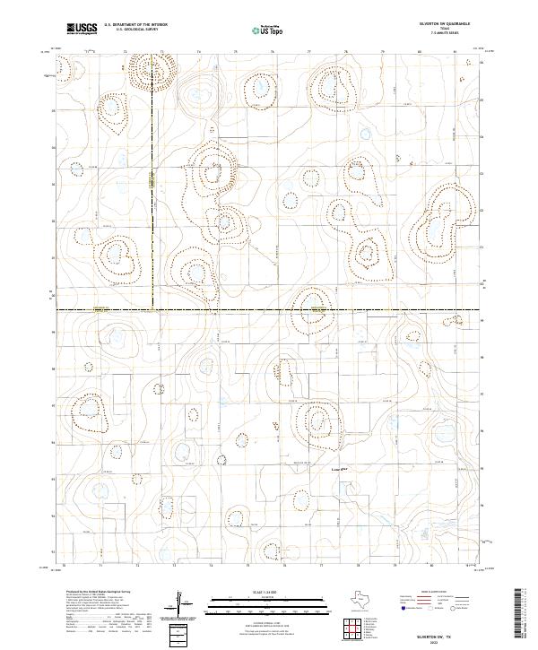
2022 Silverton SW
Floyd County, TX
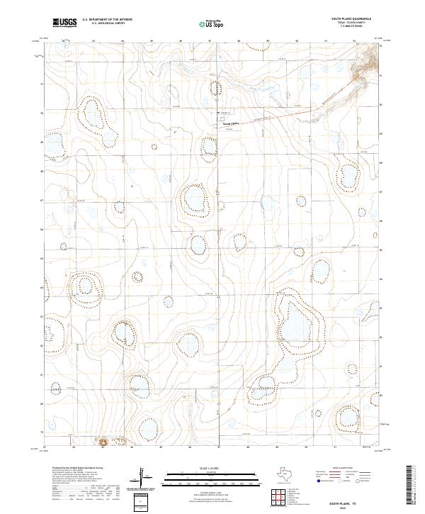
2022 South Plains
Floyd County, TX
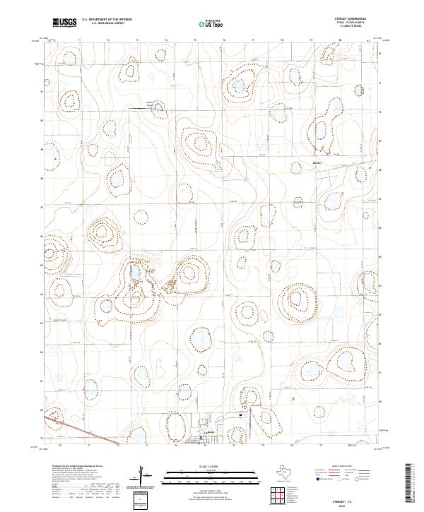
2022 Sterley
Floyd County, TX
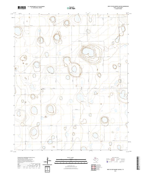
2022 West of Dick Moore Canyon
Floyd County, TX
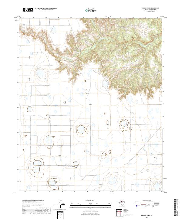
2022 Wilson Creek
Floyd County, TX