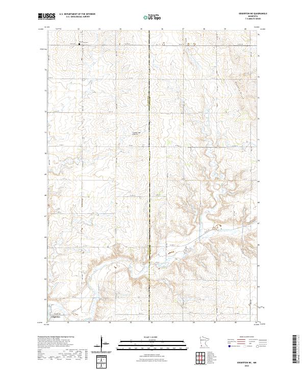
2022 Map of Edgerton NE
USGS Topo · Published 2022About this map
The rolling highlands of Buffalo Ridge dominate this portion of Southwest Minnesota, part of the larger Coteau des Prairies formation. This landscape is defined by the headwaters of the Chanarambie Cr and its northern branch, N Br Chanarambie Cr, which carve gentle drainages through a grid of rural agricultural roads. The town of Edgerton is situated in the southwestern corner, while the Woodstock Cem serves as a lone historic landmark in the north along 101st St.
Find a feature on this map
44 named features on this map. Tap any name to fly to it.
Don’t see what you’re looking for? This feature index may not catch every label — zoom into the map to look around manually.
Map Details
Editions of this 2022 Edgerton NE Map
This is the sole edition of this map. No revisions or reprints were ever made.
Other maps of this area

1953 · Watertown
USGS Topo · 1:250,000

1953 · New Ulm
USGS Topo · 1:250,000

1954 · Fairmont
USGS Topo · 1:250,000

1955 · Sioux Falls
USGS Topo · 1:250,000

1957 · New Ulm
USGS Topo · 1:250,000

1958 · New Ulm
USGS Topo · 1:250,000

1958 · Sioux Falls
USGS Topo · 1:250,000

1958 · Fairmont
USGS Topo · 1:250,000

1958 · Watertown
USGS Topo · 1:250,000

1967 · New Ulm
USGS Topo · 1:250,000