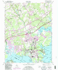
1949 Map of Edgewood
USGS Topo · Published 1986About this map
The Army Chemical Center and its surrounding laboratory and testing grounds dominate this coastal landscape of Harford County. The mid-century development of Edgewood and Edgewood Heights is clearly visible, showing the residential expansion supporting the nearby military installations. This 1949 survey, with revisions into the early 1980s, captures the complex balance between federal defense facilities like Aberdeen Proving Ground and the historical rural roots of the area. Educational and spiritual centers like the McComas Institute and St Mary's Church anchor the older inland settlements.
Find a feature on this map
87 named features on this map. Tap any name to fly to it.
Don’t see what you’re looking for? This feature index may not catch every label — zoom into the map to look around manually.
Map Details
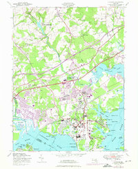
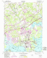
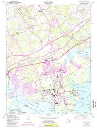
Editions of this 1949 Edgewood Map
4 editions found
Other maps of this area

1893 · Gunpowder
USGS Topo · 1:62,500

1898 · Tolchester
USGS Topo · 1:125,000

1900 · Havre De Grace
USGS Topo · 1:62,500

1900 · Betterton
USGS Topo · 1:62,500

1901 · Belair
USGS Topo · 1:62,500

1901 · Gunpowder
USGS Topo · 1:62,500

1903 · Tolchester
USGS Topo · 1:125,000

1908 · Tolchester
USGS Topo · 1:125,000

1941 · Gunpowder
USGS Topo · 1:62,500

1942 · Havre De Grace
USGS Topo · 1:62,500