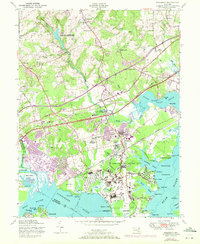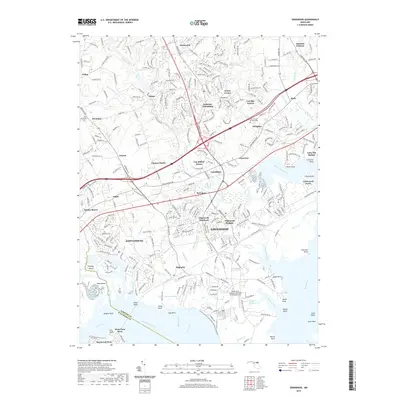
1949 Map of Edgewood
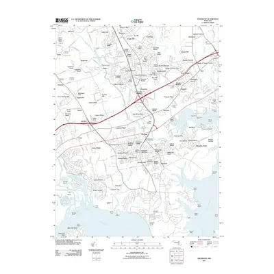
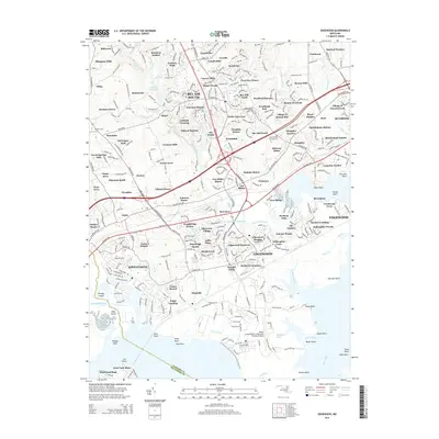
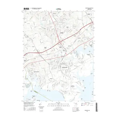
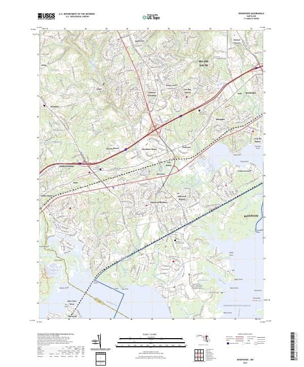
USGS Topo · Published 1986About this map
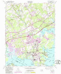
Aberdeen Proving Ground dominates this mid-century landscape along the western shore of the Bush River. The map documents a significant military footprint, including the Army Chemical Center, Weide AAF, and the Atkisson Reservoir, revealing the specialized infrastructure of these federal installations just after World War II. Interwoven with this military presence are historic Harford County communities such as Edgewood, Abingdon, and Joppa. Local landmarks like the McComas Institute and St Mary's Church anchor the rural-to-suburban transition, while the extensive wetlands of Gunpowder Falls State Park and Otter Point Creek define the hydrologic character of the Gunpowder and Bush River estuaries. The map also traces the critical transportation corridor formed by the Pulaski Highway and the Baltimore and Ohio Railroad, illustrating how rail and road networks shaped the growth of settlements like Magnolia and Sewell Station near the Chesapeake Bay.
Find a feature on this map
92 named features on this map. Tap any name to fly to it.
Don’t see what you’re looking for? This feature index may not catch every label — zoom into the map to look around manually.
Map Details
Editions of this 1949 Edgewood Map
4 editions found

Historical Maps of Edgewood Through Time
7 maps found