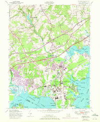
1951 Map of Edgewood
USGS Topo · Published 1972About this map
The Army Chemical Center and Aberdeen Proving Ground dominate this mid-century landscape in Harford County, where military operations and chemical defense infrastructure are woven into the estuarine terrain. The 1951 survey, updated with 1970 photorevisions, shows a specialized industrial-military complex including the Eastern Chemical Depot, a Water Treatment Plant, and extensive Transformer Stations near Canal Creek. This high-security activity stands in contrast to the older crossroads communities and historic sites such as Harford Furnace and McComas Institute.
Find a feature on this map
87 named features on this map. Tap any name to fly to it.
Don’t see what you’re looking for? This feature index may not catch every label — zoom into the map to look around manually.
Map Details
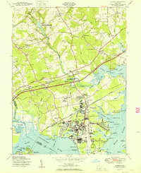
Editions of this 1951 Edgewood Map
2 editions found
Other maps of this area

1893 · Gunpowder
USGS Topo · 1:62,500

1898 · Tolchester
USGS Topo · 1:125,000

1900 · Havre De Grace
USGS Topo · 1:62,500

1900 · Betterton
USGS Topo · 1:62,500

1901 · Belair
USGS Topo · 1:62,500

1901 · Gunpowder
USGS Topo · 1:62,500

1903 · Tolchester
USGS Topo · 1:125,000

1908 · Tolchester
USGS Topo · 1:125,000

1941 · Gunpowder
USGS Topo · 1:62,500

1942 · Havre De Grace
USGS Topo · 1:62,500