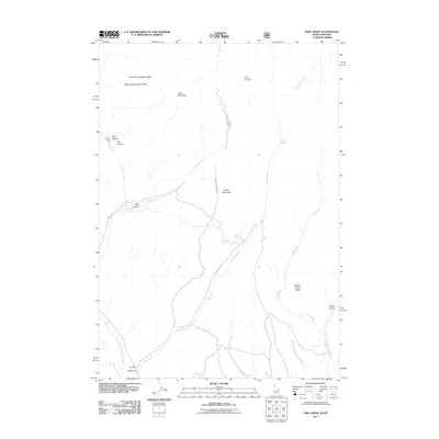
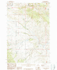
2011 Map of Edie Creek
USGS Topo · Published 2011About this map
Argora and the nearby Edie Ranch anchor this landscape along the border of Montana and Idaho, where the high-altitude drainage of Medicine Lodge Creek meets the headwaters of Edie Creek. The terrain is defined by distinct geologic formations, including the Red Conglomerate Peaks and Knob Mountain to the north, giving way to the sprawling flats of The Bull Pen. This 2011 survey documents a remote ranching and grazing region crisscrossed by Forest Service routes like Edie Creek Rd and Irving Rd.
Find a feature on this map
23 named features on this map. Tap any name to fly to it.
Don’t see what you’re looking for? This feature index may not catch every label — zoom into the map to look around manually.
Map Details
Editions of this 2011 Edie Creek Map
This is the sole edition of this map. No revisions or reprints were ever made.
Other maps of this area

1955 · Dubois
USGS Topo · 1:250,000
1957 · Paul Reservoir
USGS Topo · 1:62,500
1957 · Edie Ranch
USGS Topo · 1:62,500

1958 · Dubois
USGS Topo · 1:250,000
1965 · Gallagher Gulch
USGS Topo · 1:24,000
1965 · Lima Peaks
USGS Topo · 1:24,000
1968 · Snowline
USGS Topo · 1:24,000
1983 · Dubois
USGS Topo · 1:100,000
1987 · Indian Creek
USGS Topo · 1:24,000
1987 · Fritz Peak
USGS Topo · 1:24,000