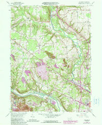
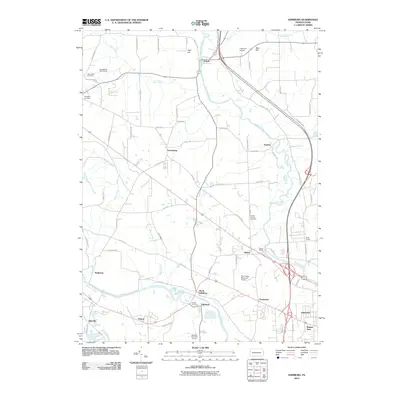
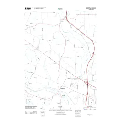
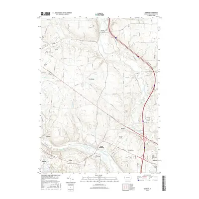
1958 Map of Edinburg
USGS Topo · Published 1979About this map
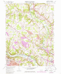
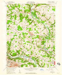
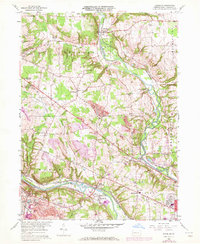
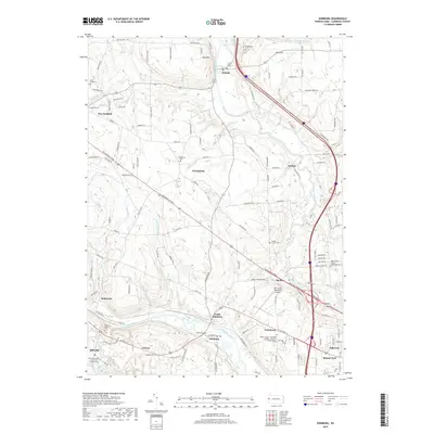
The Shenango River and Mahoning River corridors define the industrial and agricultural landscape of Lawrence County, Pennsylvania, in this late-1950s record. Extensive extractive industries are evident through numerous Strip Mines and a large Slag Pile near Pulaski, contrasting with the preserved acreage of State Game Land No 150. Local education and community life center on sites like the Cotton Sch and St James Ch, while the New Castle Municipal Airport reflects mid-century infrastructure growth near the Harbor Bridge.
Find a feature on this map
64 named features on this map. Tap any name to fly to it.
Don’t see what you’re looking for? This feature index may not catch every label — zoom into the map to look around manually.
Map Details
Editions of this 1958 Edinburg Map
4 editions found
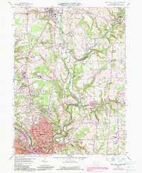
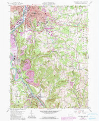
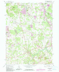
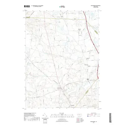
Historical Maps of Pulaski Township Through Time
26 maps found

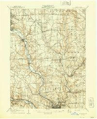
1905 Neshannock
Lawrence County, PA
1907 Neshannock
Lawrence County, PA
1958 Edinburg
Lawrence County, PA
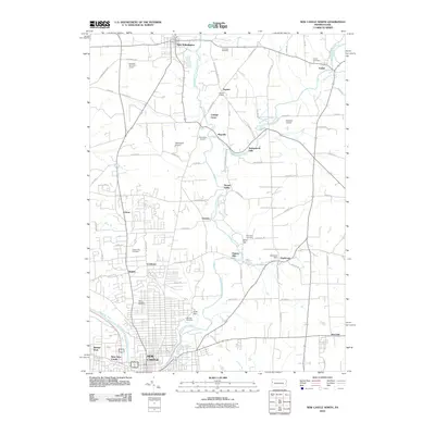
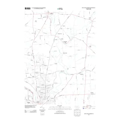
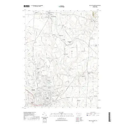
1958 New Castle North
Lawrence County, PA
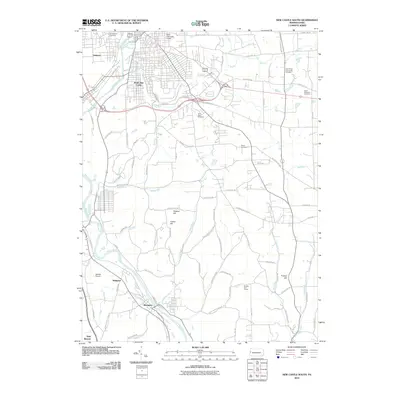
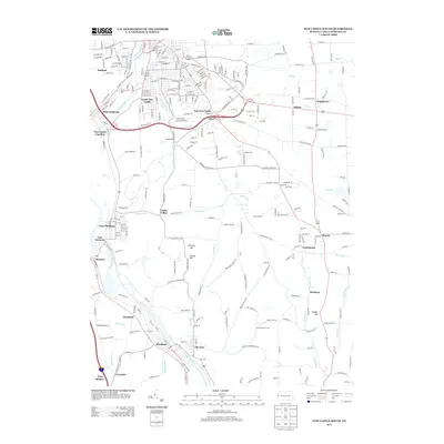
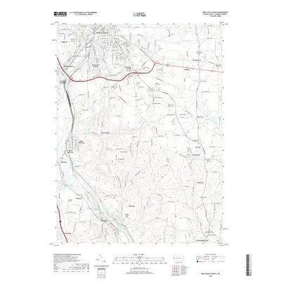
1958 New Castle South
Lawrence County, PA
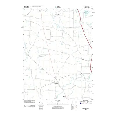
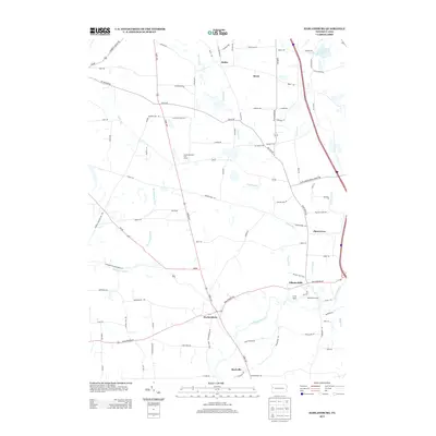
1961 Harlansburg
Lawrence County, PA
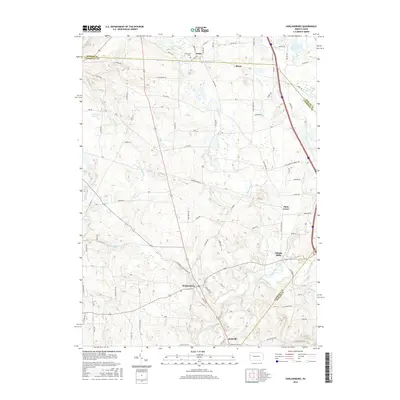
2010 Edinburg
Lawrence County, PA
2010 Harlansburg
Lawrence County, PA
2010 New Castle North
Lawrence County, PA
2010 New Castle South
Lawrence County, PA
2013 Edinburg
Lawrence County, PA
2013 Harlansburg
Lawrence County, PA
2013 New Castle North
Lawrence County, PA
2013 New Castle South
Lawrence County, PA
2016 Edinburg
Lawrence County, PA
2016 Harlansburg
Lawrence County, PA
2016 New Castle North
Lawrence County, PA
2016 New Castle South
Lawrence County, PA
2019 Edinburg
Lawrence County, PA
2019 Harlansburg
Lawrence County, PA
2019 New Castle North
Lawrence County, PA
2019 New Castle South
Lawrence County, PA
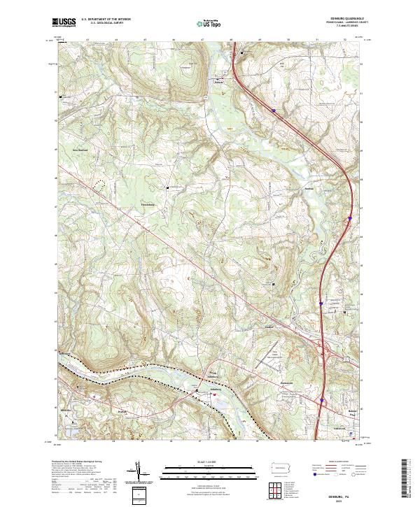
2023 Edinburg
Lawrence County, PA
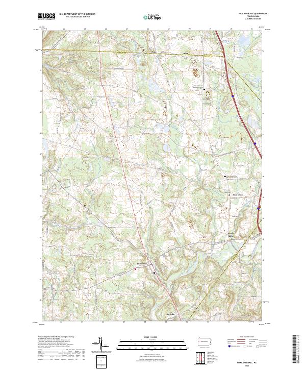
2023 Harlansburg
Lawrence County, PA
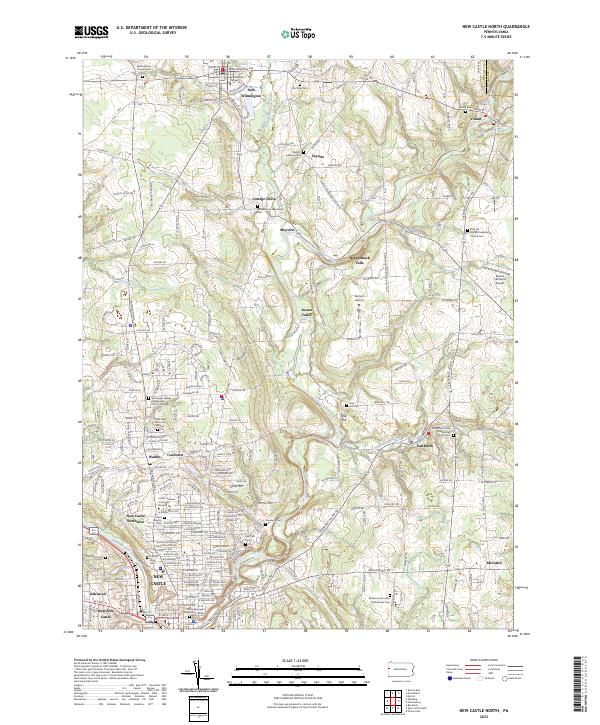
2023 New Castle North
Lawrence County, PA
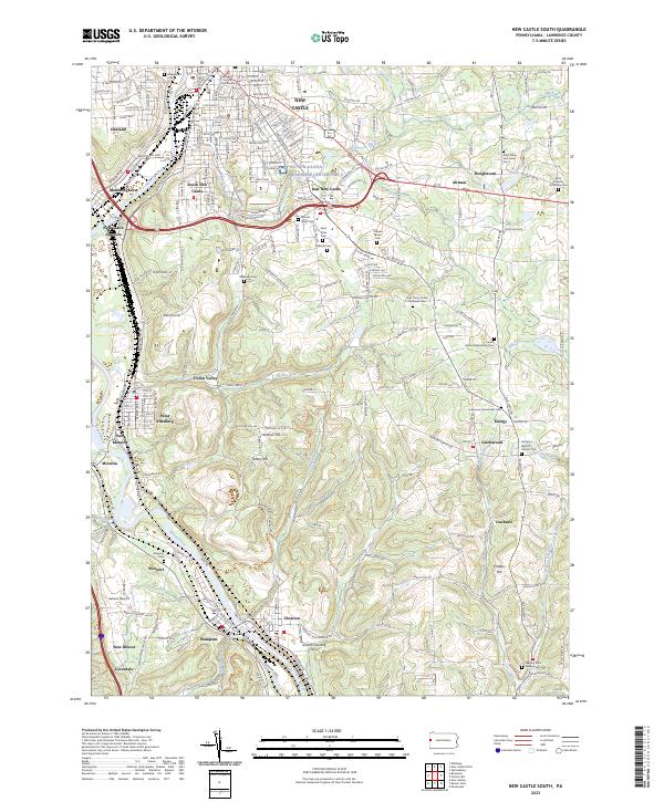
2023 New Castle South
Lawrence County, PA
Featured Locations
- Neshannock Township, PA
- Pulaski Township, PA
- Edinburg, Mahoning Township
- North Edinburg, Mahoning Township
- Frizzleburg, Pulaski Township