
1923 Map of Edinburg
USGS Topo · Published 1923About this map
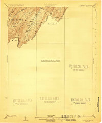
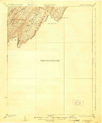
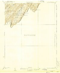
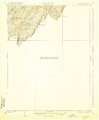
Shenandoah National Forest dominates this 1921 survey along the rugged border of Virginia and West Virginia. The landscape is defined by the heavy ridgelines of North Mountain, Buck Mountain, and Paddy Mountain, where isolated life centered around water sources like Trout Pond and Trout Run. Sparse settlements and rural infrastructure are concentrated in the valleys, particularly near the Mt Vernon Church and Heishman School, serving the small communities of Rockland and Perry. The presence of the Forest Service Lookout on the crest of Paddy Mountain reflects early 20th-century conservation and fire management efforts in these highlands. The map preserves the complex drainage patterns of the region, where numerous runs like Halfmoon Run and Waites Run carve deep into the mountain gaps, illustrating the difficult terrain that shaped early transportation and boundary lines.
Find a feature on this map
20 named features on this map. Tap any name to fly to it.
Don’t see what you’re looking for? This feature index may not catch every label — zoom into the map to look around manually.
Map Details
Editions of this 1923 Edinburg Map
5 editions found
Other maps of this area

1891 · Romney
USGS Topo · 1:125,000

1892 · Woodstock
USGS Topo · 1:125,000

1893 · Luray
USGS Topo · 1:125,000

1894 · Winchester
USGS Topo · 1:125,000

1905 · Luray
USGS Topo · 1:125,000

1920 · Moorefield
USGS Topo · 1:62,500

1921 · Orkney Springs
USGS Topo · 1:48,000

1921 · Moorefield
USGS Topo · 1:48,000

1922 · Moorefield
USGS Topo · 1:62,500

1922 · Wardensville
USGS Topo · 1:62,500