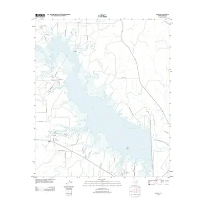
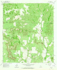
2013 Map of Edith
USGS Topo · Published 2013About this map
E V Spence Reservoir dominates this West Texas landscape, where the impounded Colorado River fills the jagged breaks of Coke County. The small community of Edith sits near the western shoreline, serving as a landmark for a region defined by its water access and petroleum interests, notably the B Oil Field situated near the northern inlets. The map illustrates a developed recreational and residential infrastructure along the reservoir's fingers, with numerous named roads like Lakeshore Dr and Paint Creek Marina Rd providing access to the waterfront.
Find a feature on this map
55 named features on this map. Tap any name to fly to it.
Don’t see what you’re looking for? This feature index may not catch every label — zoom into the map to look around manually.
Map Details
Editions of this 2013 Edith Map
This is the sole edition of this map. No revisions or reprints were ever made.
Other maps of this area
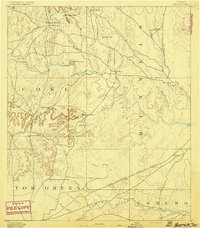
1891 · Hayrick
USGS Topo · 1:125,000
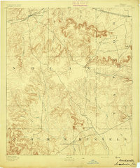
1893 · Sweetwater
USGS Topo · 1:125,000
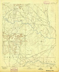
1894 · Hayrick
USGS Topo · 1:125,000

1954 · Big Spring
USGS Topo · 1:250,000
1954 · San Angelo
USGS Topo · 1:250,000
1958 · San Angelo
USGS Topo · 1:250,000

1958 · Big Spring
USGS Topo · 1:250,000
1959 · Silver
USGS Topo · 1:24,000
1962 · Edith
USGS Topo · 1:24,000
1962 · Sanco
USGS Topo · 1:24,000