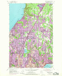
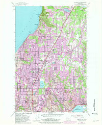
1953 Map of Edmonds East
USGS Topo · Published 1969About this map
Puget Sound and the northern reaches of Lake Washington frame this mid-century look at the suburban expansion between Seattle and Everett. The map reveals the early structure of Lynnwood, Mountlake Terrace, and Edmonds, where residential growth begins to overtake the poultry farms of Alderwood Manor. Large institutional and recreational sites define the interior landscape, including the sprawling Holyrood Cemetery, the Nile Temple Country Club, and a U S Coast Guard Reservation.
Find a feature on this map
60 named features on this map. Tap any name to fly to it.
Don’t see what you’re looking for? This feature index may not catch every label — zoom into the map to look around manually.
Map Details
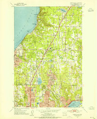
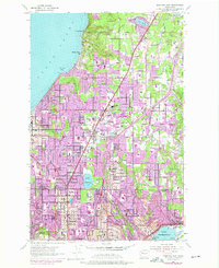
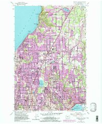
Editions of this 1953 Edmonds East Map
5 editions found
Other maps of this area

1894 · Seattle
USGS Topo · 1:62,500

1895 · Snohomish
USGS Topo · 1:125,000

1897 · Seattle
USGS Topo · 1:125,000

1908 · Seattle
USGS Topo · 1:62,500

1909 · Seattle Special
USGS Topo · 1:62,500

1942 · Edmonds
USGS Topo · 1:62,500

1944 · Everett
USGS Topo · 1:62,500

1949 · Shilshole Bay
USGS Topo · 1:24,000

1949 · Seattle North
USGS Topo · 1:24,000

1950 · Kirkland
USGS Topo · 1:24,000