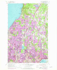
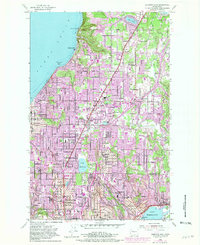
1953 Map of Edmonds East
USGS Topo · Published 1976About this map
Puget Sound defines the western edge of this landscape, where the shoreline transitions from Norma Beach and Meadowdale south toward the port at Edmonds. The 1970s updates reveal an area in the midst of significant suburban transformation, with the dense residential grids of Lynnwood and Mountlake Terrace filling the space between the coast and the northern reaches of Lake Washington. This era shows a community infrastructure built for growth, evidenced by the numerous education centers like Edmonds High Sch and Mountlake Terrace High Sch.
Find a feature on this map
58 named features on this map. Tap any name to fly to it.
Don’t see what you’re looking for? This feature index may not catch every label — zoom into the map to look around manually.
Map Details
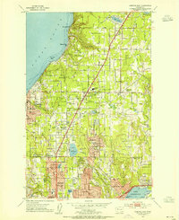
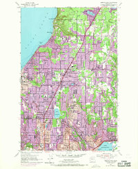
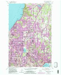
Editions of this 1953 Edmonds East Map
5 editions found
Other maps of this area

1894 · Seattle
USGS Topo · 1:62,500

1895 · Snohomish
USGS Topo · 1:125,000

1897 · Seattle
USGS Topo · 1:125,000

1908 · Seattle
USGS Topo · 1:62,500

1909 · Seattle Special
USGS Topo · 1:62,500

1942 · Edmonds
USGS Topo · 1:62,500

1944 · Everett
USGS Topo · 1:62,500

1949 · Shilshole Bay
USGS Topo · 1:24,000

1949 · Seattle North
USGS Topo · 1:24,000

1950 · Kirkland
USGS Topo · 1:24,000