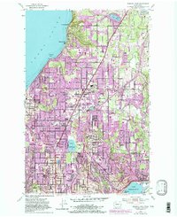
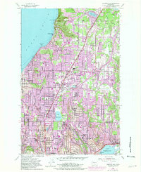
1953 Map of Edmonds East
USGS Topo · Published 1981About this map
The Snohomish Co and King Co line bisects this landscape of rapid postwar development, where the sprawling residential tracts of Mountlake Terrace and Lynnwood are shown expanding toward the shores of Puget Sound. The transition from rural to suburban is evident in the survival of Alderwood Manor and Perrinville alongside newer infrastructure like the Pacific Highway. The shoreline is defined by the Great Northern RR tracks winding through Browns Bay and Meadowdale, while the interior is dotted with community hubs like the Nile Temple Country Club and Holyrood Cemetery. This 1953 survey, updated with 1981 revisions, documents the filling in of the hills between Lake Washington and the Sound, preserving the location of dozens of local landmarks from the Kenmore Drive-in Theater to early educational sites like Ronald Schools and Esperance Sch.
Find a feature on this map
54 named features on this map. Tap any name to fly to it.
Don’t see what you’re looking for? This feature index may not catch every label — zoom into the map to look around manually.
Map Details
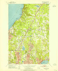
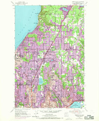
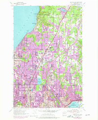
Editions of this 1953 Edmonds East Map
5 editions found
Other maps of this area

1894 · Seattle
USGS Topo · 1:62,500

1895 · Snohomish
USGS Topo · 1:125,000

1897 · Seattle
USGS Topo · 1:125,000

1908 · Seattle
USGS Topo · 1:62,500

1909 · Seattle Special
USGS Topo · 1:62,500

1942 · Edmonds
USGS Topo · 1:62,500

1944 · Everett
USGS Topo · 1:62,500

1949 · Shilshole Bay
USGS Topo · 1:24,000

1949 · Seattle North
USGS Topo · 1:24,000

1950 · Kirkland
USGS Topo · 1:24,000