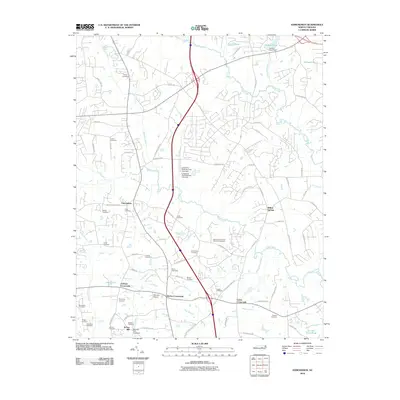
2010 Map of Edmondson
USGS Topo · Published 2010About this map
Edmondson and Willow Springs anchor this portion of Johnston County, where the landscape is defined by a dense network of family cemeteries and small rural crossroads. Settlements like Johnson Crossroads, McGee Crossroads, and Coats Crossroads highlight the importance of early transportation nodes in this agricultural region. The map reveals a legacy of local industry and water management along Swift Creek and Middle Creek, evidenced by McGee Mill and various impoundments such as Langdons Pond Number One Dam and Austins Pond Dam. Genealogists will find an exceptional concentration of burial sites, including the Nimrod-Stephenson Memorial Cemetery and the Penny Cemetery, often situated near early homesteads and church communities. Aviation history is also represented by the McLamb Airport, situated just west of the McGee Crossroads area.
Find a feature on this map
87 named features on this map. Tap any name to fly to it.
Don’t see what you’re looking for? This feature index may not catch every label — zoom into the map to look around manually.
Map Details
Editions of this 2010 Edmondson Map
This is the sole edition of this map. No revisions or reprints were ever made.
Other maps of this area

1906 · Four Oaks
USGS Topo · 1:48,000

1908 · Four Oaks
USGS Topo · 1:62,500

1953 · Raleigh
USGS Topo · 1:250,000

1954 · Raleigh
USGS Topo · 1:250,000

1964 · Lake Wheeler
USGS Topo · 1:24,000

1964 · Garner
USGS Topo · 1:24,000

1964 · Selma
USGS Topo · 1:62,500

1964 · Angier
USGS Topo · 1:24,000

1964 · Clayton
USGS Topo · 1:24,000

1964 · Edmondson
USGS Topo · 1:24,000