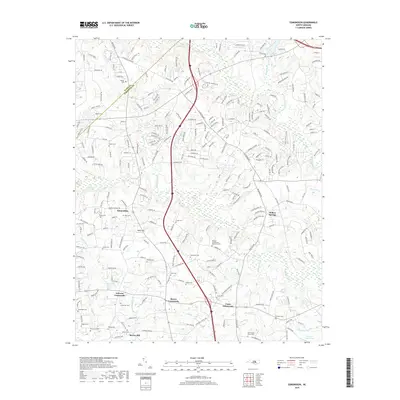
2019 Map of Edmondson
USGS Topo · Published 2019About this map
Edmondson and Willow Springs anchor this landscape along the border of Wake and Johnston counties, where agricultural roots meet modern development. The area is defined by its numerous crossroads settlements, including McGee Crossroads, Coats Crossroads, and Johnson Crossroads, which trace the historical movement of goods and people between local farmsteads. Family legacy is deeply etched into the land through an extensive network of small burial grounds such as the Nimrod Stephenson Memorial Cem and Penny Cem.
Find a feature on this map
246 named features on this map. Tap any name to fly to it.
Don’t see what you’re looking for? This feature index may not catch every label — zoom into the map to look around manually.
Map Details
Editions of this 2019 Edmondson Map
This is the sole edition of this map. No revisions or reprints were ever made.
Other maps of this area

1906 · Four Oaks
USGS Topo · 1:48,000

1908 · Four Oaks
USGS Topo · 1:62,500

1953 · Raleigh
USGS Topo · 1:250,000

1954 · Raleigh
USGS Topo · 1:250,000

1964 · Lake Wheeler
USGS Topo · 1:24,000

1964 · Garner
USGS Topo · 1:24,000

1964 · Selma
USGS Topo · 1:62,500

1964 · Angier
USGS Topo · 1:24,000

1964 · Clayton
USGS Topo · 1:24,000

1964 · Edmondson
USGS Topo · 1:24,000