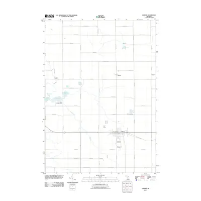
2011 Map of Edmore
USGS Topo · Published 2011About this map
Edmore serves as the primary hub of this Montcalm County landscape, where the intersection of state routes and local streets like Charlotte St and Johnson St anchor the village. The surrounding countryside reflects a mix of outdoor recreation and resource extraction, evidenced by the Nature's Chain of Lakes Campground near the western waters of Fourth Lake and Fifth Lake. This area is characterized by its glacial hydrology, with Stony Creek and Skunk Creek draining through a mosaic of small lakes and wetlands.
Find a feature on this map
66 named features on this map. Tap any name to fly to it.
Don’t see what you’re looking for? This feature index may not catch every label — zoom into the map to look around manually.
Map Details
Editions of this 2011 Edmore Map
This is the sole edition of this map. No revisions or reprints were ever made.
Other maps of this area

1916 · Mount Pleasant
USGS Topo · 1:62,500

1919 · Mount Pleasant
USGS Topo · 1:62,500

1943 · Mount Pleasant
USGS Topo · 1:62,500

1954 · Midland
USGS Topo · 1:250,000

1958 · Midland
USGS Topo · 1:250,000

1959 · Midland
USGS Topo · 1:250,000

1964 · Edmore
USGS Topo · 1:24,000

1964 · Six Lakes
USGS Topo · 1:24,000

1964 · Blanchard
USGS Topo · 1:24,000

1964 · Langston
USGS Topo · 1:24,000