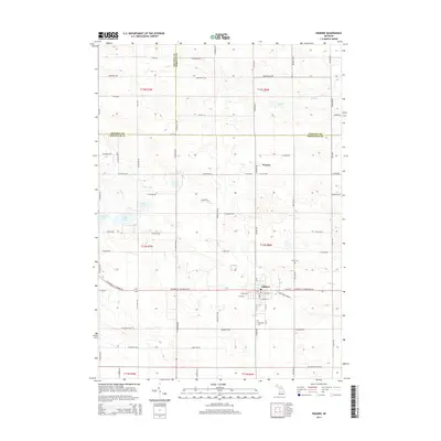
2014 Map of Edmore
USGS Topo · Published 2014About this map
Edmore serves as a central hub in this section of Montcalm County, situated at the junction of W Howard City Edmore Rd and N Sheridan Rd. The landscape is defined by its glacial hydrology, featuring a cluster of water bodies such as Mud Lake, Sixth Lake, Fourth Lake, and Fifth Lake to the west. To the north, the small settlement of Wyman sits near the headwaters of Skunk Cr. This 2014 survey documents the established agricultural grid and rural infrastructure that has long sustained this part of Michigan.
Find a feature on this map
81 named features on this map. Tap any name to fly to it.
Don’t see what you’re looking for? This feature index may not catch every label — zoom into the map to look around manually.
Map Details
Editions of this 2014 Edmore Map
This is the sole edition of this map. No revisions or reprints were ever made.
Other maps of this area

1916 · Mount Pleasant
USGS Topo · 1:62,500

1919 · Mount Pleasant
USGS Topo · 1:62,500

1943 · Mount Pleasant
USGS Topo · 1:62,500

1954 · Midland
USGS Topo · 1:250,000

1958 · Midland
USGS Topo · 1:250,000

1959 · Midland
USGS Topo · 1:250,000

1964 · Edmore
USGS Topo · 1:24,000

1964 · Six Lakes
USGS Topo · 1:24,000

1964 · Blanchard
USGS Topo · 1:24,000

1964 · Langston
USGS Topo · 1:24,000