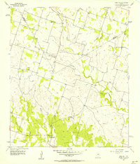
1956 Map of Edna Hill
USGS Topo · Published 1957About this map
Edna Hill sits at the center of this rural mid-century landscape where the boundary between Erath and Comanche Counties follows the drainage patterns of North Central Texas. The terrain is defined by the prominent Sand Mountain to the west and a dense network of seasonal watercourses including Resley Creek and Fourmile Creek to the east. The 1950s settlement pattern reflects a stable ranching and early petroleum economy, evidenced by the Lightning C Ranch and a solitary Oil Well located near the southern border.
Find a feature on this map
19 named features on this map. Tap any name to fly to it.
Don’t see what you’re looking for? This feature index may not catch every label — zoom into the map to look around manually.
Map Details
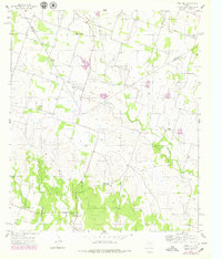
Editions of this 1956 Edna Hill Map
2 editions found
Other maps of this area

1888 · Hamilton
USGS Topo · 1:125,000

1890 · Stephenville
USGS Topo · 1:125,000

1894 · Hamilton
USGS Topo · 1:125,000

1920 · Stephenville
USGS Topo · 1:125,000

1954 · Brownwood
USGS Topo · 1:250,000

1954 · Abilene
USGS Topo · 1:250,000

1956 · Gustine
USGS Topo · 1:62,500

1956 · Gentrys Mill
USGS Topo · 1:24,000

1956 · Gustine
USGS Topo · 1:24,000

1956 · Hico
USGS Topo · 1:62,500