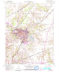
1954 Map of Edwardsville
USGS Topo · Published 1991About this map
Edwardsville serves as a dense municipal and industrial hub on this mid-century survey, revealing a landscape defined by an extensive rail network. Lines such as the Illinois Terminal and the Chicago and North Western converge here, facilitating a local economy once anchored by the Courthouse and the Sanatorium. To the south, the settlement of Leclaire and the rising infrastructure of the Southern Illinois University (Edwardsville Campus) reflect post-war growth and academic expansion.
Find a feature on this map
49 named features on this map. Tap any name to fly to it.
Don’t see what you’re looking for? This feature index may not catch every label — zoom into the map to look around manually.
Map Details
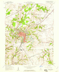
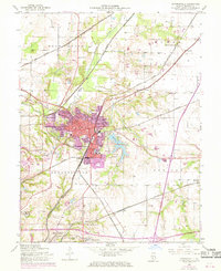
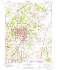
Editions of this 1954 Edwardsville Map
4 editions found
Other maps of this area

1888 · St. Louis
USGS Topo · 1:62,500

1907 · Belleville
USGS Topo · 1:62,500

1927 · Alton
USGS Topo · 1:62,500

1927 · Edwardsville
USGS Topo · 1:62,500

1932 · Edwardsville
USGS Topo · 1:62,500

1934 · Alton
USGS Topo · 1:62,500

1935 · Monks Mound
USGS Topo · 1:24,000

1937 · Collinsville
USGS Topo · 1:24,000

1948 · Wood River
USGS Topo · 1:24,000

1949 · Saint Louis
USGS Topo · 1:250,000