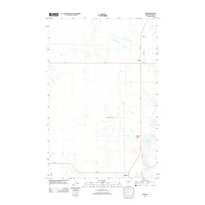
2013 Map of Effie
USGS Topo · Published 2013About this map
Effie and Bigfork anchor this section of northern Minnesota's forest lands, connected by a network of state and county highways. The Big Fork River winds through the southern reaches of the quadrangle, passing near the Bigfork Municipal Airport and feeding into smaller water bodies like Connors Lake. The landscape is defined by its low-lying hydrology, including Bowerman Brook and Plum Cr, which suggest the wetland-heavy character of the Itasca County wilderness.
Find a feature on this map
17 named features on this map. Tap any name to fly to it.
Don’t see what you’re looking for? This feature index may not catch every label — zoom into the map to look around manually.
Map Details
Editions of this 2013 Effie Map
This is the sole edition of this map. No revisions or reprints were ever made.
Other maps of this area

1918 · Zora
USGS Topo · 1:62,500

1919 · Zora
USGS Topo · 1:62,500

1919 · Marcell
USGS Topo · 1:62,500

1954 · Hibbing
USGS Topo · 1:250,000

1957 · Hibbing
USGS Topo · 1:250,000

1958 · Hibbing
USGS Topo · 1:250,000

1964 · Hibbing
USGS Topo · 1:250,000

1970 · Coon Lake
USGS Topo · 1:24,000
1970 · Spring Lake
USGS Topo · 1:24,000
1970 · Bigfork
USGS Topo · 1:24,000